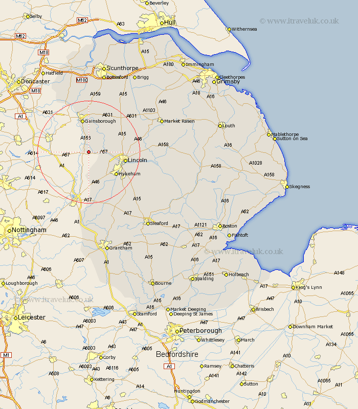
Lincolnshire Map Showing Location of Kettlethorpe
Population: 378
District: West Lindsey
Easting: 484471 Northing: 375190
Latitude: 53.27 Longitude: -0.73
 = Kettlethorpe
District: West Lindsey
Easting: 484471 Northing: 375190
Latitude: 53.27 Longitude: -0.73
= Kettlethorpe
This Kettlethorpe map below is supplied by Google. Use the tools in the top left corner to zoom into street level or zoom out for a road map, you may also need to zoom in to see Kettlethorpe on the map. Click and drag the map to move around. If the map fails to load try and refresh your browser or zoom in or out (+ or -).
Update - it seems Google no longer allow people to use their maps for free! This Kettlethorpe map sometimes loads and sometimes gives a error. I am working on a solution.
Closest 30 Towns or Cities to Kettlethorpe (Population over 500)
Torksey 1.85km Saxilby 5.54km Marton 5.56km North Scarle 7.42km Skellingthorpe 8.6km Willingham 9.84km Eagle 9.85km Lea 11.17km Thorpe on the Hill 11.42km Thorpe-on-the-Hill 11.42km Thorpe 11.42km Scrampton 11.68km Scampton 11.68km Ingham 12.42km Gainesborough 13.15km Gainsborough 13.15km Swinderby 13.16km North Hykeham 13.62km Hykeham 13.62km Lincoln 13.81km Aubourn 15.12km Morton 15.19km Nettleham 16.63km Welton 17.03km Waddington 17.35km Bassingham 17.96km Dunholme 18.11km Dunholm 18.11km Blyton 18.56km Washingborough 18.6km