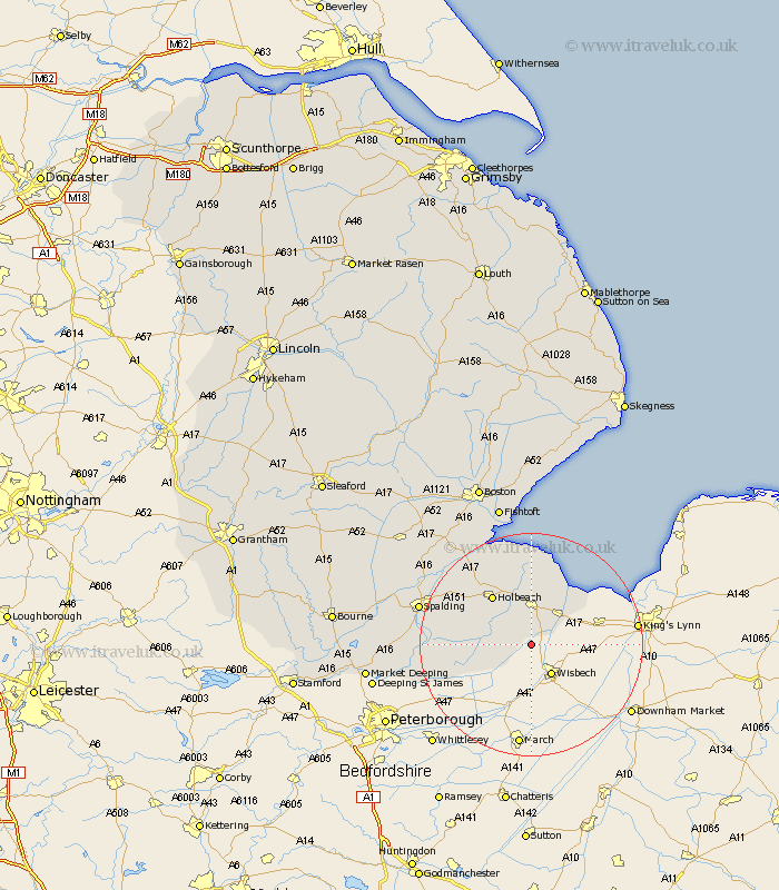
Lincolnshire Map Showing Location of Tydd Saint Giles
District: South Holland
Easting: 542955 Northing: 315366
Latitude: 52.72 Longitude: 0.12
 = Tydd Saint Giles
Easting: 542955 Northing: 315366
Latitude: 52.72 Longitude: 0.12
= Tydd Saint Giles
This Tydd Saint Giles map below is supplied by Google. Use the tools in the top left corner to zoom into street level or zoom out for a road map, you may also need to zoom in to see Tydd Saint Giles on the map. Click and drag the map to move around. If the map fails to load try and refresh your browser or zoom in or out (+ or -).
Update - it seems Google no longer allow people to use their maps for free! This Tydd Saint Giles map sometimes loads and sometimes gives a error. I am working on a solution.
Closest 30 Towns or Cities to Tydd Saint Giles (Population over 500)
Tydd Saint Mary 3.84km Tydd St Mary 3.84km Tydd 3.84km Tydd St. Mary 3.84km Sutton St James 3.84km Sutton Saint James 3.84km Sutton St. James 3.84km Sutton Bridge 7.14km Gedney 7.49km Long Sutton 7.49km Fleet 8.13km Lutton 9.26km Godney Hill 10.57km Gedney Hill 10.57km Holbeach 11.45km Whaplode 12.52km Moulton 13.44km Weston 15.43km Cowbit 15.82km Leverington 17.74km Crowland 18.81km Croyland 18.81km Pinchbeck 20.19km Spalding 20.46km Surfleet 21.23km Deeping St. Nicholas 21.33km Deeping St Nicholas 21.33km Deeping Saint Nicholas 21.33km Gosberton 23.27km Frampton 23.98km