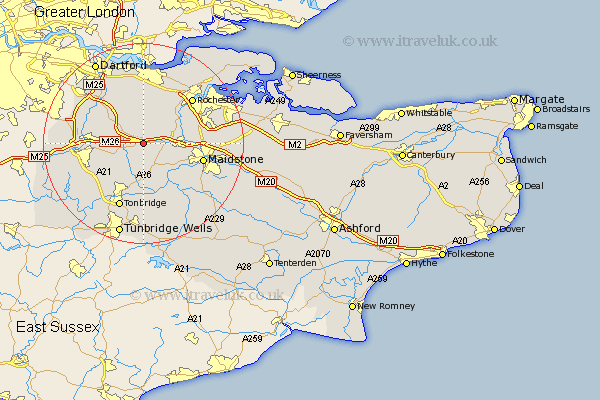
Kent Map Showing Location of Trotterscliffe
District: Tonbridge and Malling
Easting: 563807 Northing: 158331
Latitude: 51.3 Longitude: 0.35
 = Trotterscliffe
Easting: 563807 Northing: 158331
Latitude: 51.3 Longitude: 0.35
= Trotterscliffe
This Trotterscliffe map below is supplied by Google. Use the tools in the top left corner to zoom into street level or zoom out for a road map, you may also need to zoom in to see Trotterscliffe on the map. Click and drag the map to move around. If the map fails to load try and refresh your browser or zoom in or out (+ or -).
Update - it seems Google no longer allow people to use their maps for free! This Trotterscliffe map sometimes loads and sometimes gives a error. I am working on a solution.
Closest 30 Towns or Cities to Trotterscliffe (Population over 500)
Offham 2.19km Ryarsh 2.32km Wrotham 2.32km West Malling 3.94km Addington 3.94km Borough Green 3.94km Ridley 4.37km Mereworth 5.68km Snodland 6.08km Ash 6.56km Plaxtol 6.56km East Malling 6.88km Wateringbury 7.24km Meopham 7.51km Hartley 7.77km West Kingsdown 7.88km Kemsing 8.11km Cuxton 8.9km Wouldham 8.91km Hadlow 9.33km Burham 9.45km Aylesford 9.46km Seal 9.46km Longfield 9.55km East Barming 9.84km Barming 9.84km Cobham 9.89km Eynsford 10.8km Yalding 10.93km Sevenoaks 11.07km