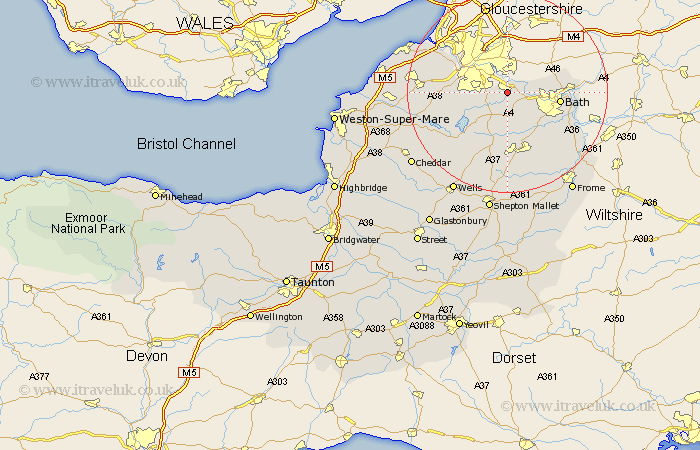
Somerset Map Showing Location of Keynsham
Population: 14890
Area Size (ha): 39
Easting: 365221 Northing: 166947
Latitude: 51.4 Longitude: -2.5
 = Keynsham
Area Size (ha): 39
Easting: 365221 Northing: 166947
Latitude: 51.4 Longitude: -2.5
= Keynsham
This Keynsham map below is supplied by Google. Use the tools in the top left corner to zoom into street level or zoom out for a road map, you may also need to zoom in to see Keynsham on the map. Click and drag the map to move around. If the map fails to load try and refresh your browser or zoom in or out (+ or -).
Update - it seems Google no longer allow people to use their maps for free! This Keynsham map sometimes loads and sometimes gives a error. I am working on a solution.
Closest 30 Towns or Cities to Keynsham (Population over 500)
Compton Dando 2.19km Saltford 3.47km Publow 4.37km Whitchurch 4.63km Temple Cloud 7.29km Farmboro 7.42km Farmborough 7.42km Clutton 7.77km Chew Magna 8.9km Great Chew 8.9km Dundry 9.25km Timsbury 9.34km Camerton 9.89km Bath 10.57km Winford 10.57km Chew Stoke 10.8km Long Ashton 11.04km Paulton 11.12km Wellow 12.31km Batheaston 12.72km Bathampton 12.86km Farrington Gurney 13.18km Bathford 13.87km Bourton 14km Flax Bourton 14km East Harptree 14.47km Stratton on the Fosse 14.82km Stratton 14.82km Chilcompton 14.82km Stratton-on-the-Fosse 14.82km