Durham Map Showing Location of Thorpe Thewles
Easting: 439834 Northing: 522946
Latitude: 54.6 Longitude: -1.38
 = Thorpe Thewles
Latitude: 54.6 Longitude: -1.38
= Thorpe Thewles
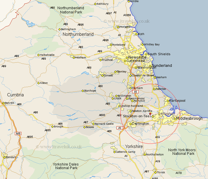
This Thorpe Thewles map below is supplied by Google. Use the tools in the top left corner to zoom into street level or zoom out for a road map, you may also need to zoom in to see Thorpe Thewles on the map. Click and drag the map to move around. If the map fails to load try and refresh your browser or zoom in or out (+ or -).
Update - it seems Google no longer allow people to use their maps for free! This Thorpe Thewles map sometimes loads and sometimes gives a error. I am working on a solution.
Closest 30 Towns or Cities to Thorpe Thewles (Population over 500)
Grindon 1.86km Carlton 2.15km Stockton-on-Tees 2.53km Stockton 2.53km Stockton on Tees 2.53km Stillington 3.22km Billingham on Tees 5.37km Billingham 5.37km Billingham-on-Tees 5.37km Sedgefield 6.42km Wolviston 6.7km Eaglescliffe 7.72km Thornaby on Tees 9.16km Thornaby 9.16km Thornaby-on-Tees 9.16km Egglescliffe 9.51km Fishburn 9.81km Greatham 10.34km Bishop Middleham 11.28km Elwick 11.28km Trimdon 11.32km Yarm-on-Tees 11.33km Yarm 11.33km Yarm on Tees 11.33km Newton Aycliffe 11.95km Hutton Henry 13.15km Darlington 13.95km Cornforth 14.04km West Cornforth 14.04km Ferryhill 14.17km