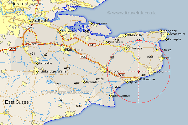
Kent Map Showing Location of Swingfield
Population: 1171
District: Shepway
Easting: 622686 Northing: 141991
Latitude: 51.13 Longitude: 1.18
 = Swingfield
District: Shepway
Easting: 622686 Northing: 141991
Latitude: 51.13 Longitude: 1.18
= Swingfield
This Swingfield map below is supplied by Google. Use the tools in the top left corner to zoom into street level or zoom out for a road map, you may also need to zoom in to see Swingfield on the map. Click and drag the map to move around. If the map fails to load try and refresh your browser or zoom in or out (+ or -).
Update - it seems Google no longer allow people to use their maps for free! This Swingfield map sometimes loads and sometimes gives a error. I am working on a solution.
Closest 30 Towns or Cities to Swingfield (Population over 500)
Alkham 3.49km Hawkinge 3.88km Elham 5.01km Lydden 5.01km Folkestone 5.56km Folkstone 5.56km River 5.82km Coldred 5.95km Temple Ewell 6.1km Ewell 6.1km Sibertswold 6.56km Shepherdswell 6.56km Lyminge 7.22km Eythorne 8.92km St Margaret at Cliffe 9.49km St Margaret's at Cliffe 9.49km Saint Margarets 9.49km St. Margaret's at Cliffe 9.49km St Margarets 9.49km Saint Margaret's at Cliffe 9.49km St. Margarets 9.49km Saint Margaret at Cliffe 9.49km St. Margaret at Cliffe 9.49km Stelling 9.85km West Langdon 10.01km Langdon 10.01km Hythe 10.18km Dover 10.23km Bridge 12.05km Brabourne 12.79km