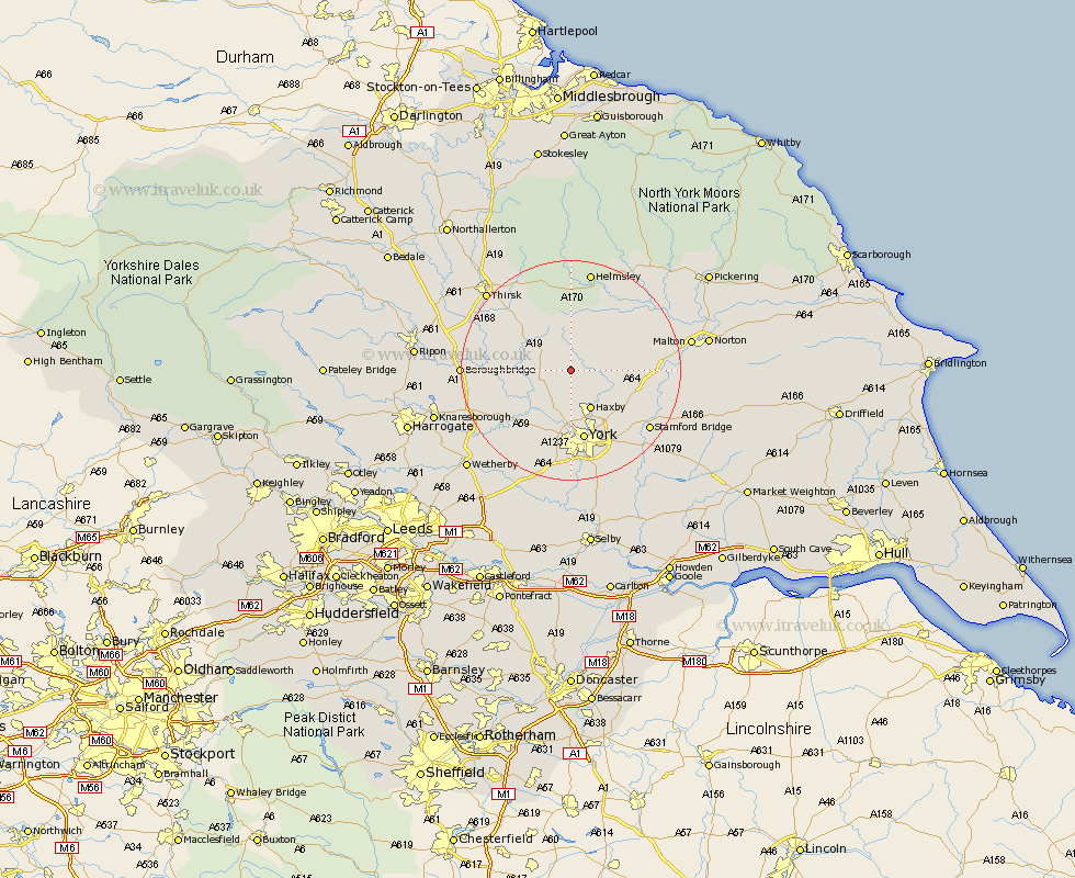
Yorkshire Map Showing Location of Sutton On The Forest
District: Hambleton
Easting: 457779 Northing: 465645
Latitude: 54.08 Longitude: -1.12
 = Sutton On The Forest
Easting: 457779 Northing: 465645
Latitude: 54.08 Longitude: -1.12
= Sutton On The Forest
This Sutton On The Forest map below is supplied by Google. Use the tools in the top left corner to zoom into street level or zoom out for a road map, you may also need to zoom in to see Sutton On The Forest on the map. Click and drag the map to move around. If the map fails to load try and refresh your browser or zoom in or out (+ or -).
Update - it seems Google no longer allow people to use their maps for free! This Sutton On The Forest map sometimes loads and sometimes gives a error. I am working on a solution.
Closest 30 Towns or Cities to Sutton On The Forest (Population over 500)
Huby 1.09km Stillington 1.86km Shipton 5.97km Strensall 6.58km Easingwold 6.58km Tollerton 6.78km Alne 7.61km Sheriff Hutton 7.61km Haxby 8.09km Wigginton 8.09km Newton upon Ouse 8.57km Newton 8.57km Skelton 9.33km Earswick 10.23km Huntington 10.23km Raskelf 10.32km Linton upon Ouse 10.33km Linton on Ouse 10.33km Linton 10.33km Linton-on-Ouse 10.33km Terrington 10.46km New Earswick 11.59km Ampleforth 12.98km Clifton 13.01km York 13.15km Upper Poppleton 13.15km Poppleton 13.15km Ouseburn 13.57km Great Ouseburn 13.57km Slingsby 15km