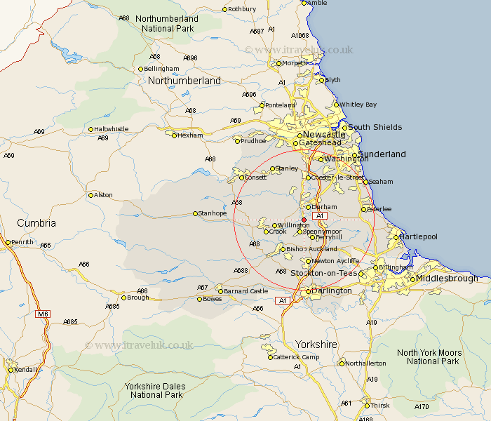
Durham Map Showing Location of Sunderland Bridge
District: Durham
Easting: 426827 Northing: 537682
Latitude: 54.73 Longitude: -1.58
 = Sunderland Bridge
Easting: 426827 Northing: 537682
Latitude: 54.73 Longitude: -1.58
= Sunderland Bridge
This Sunderland Bridge map below is supplied by Google. Use the tools in the top left corner to zoom into street level or zoom out for a road map, you may also need to zoom in to see Sunderland Bridge on the map. Click and drag the map to move around. If the map fails to load try and refresh your browser or zoom in or out (+ or -).
Update - it seems Google no longer allow people to use their maps for free! This Sunderland Bridge map sometimes loads and sometimes gives a error. I am working on a solution.
Closest 30 Towns or Cities to Sunderland Bridge (Population over 500)
Brandon 2.83km Durham 3.87km Spennymoor 3.93km Bowburn 4.28km Shincliffe 4.91km Coxhoe 5.66km West Cornforth 5.66km Cornforth 5.66km Ferryhill 5.95km Ushaw Moor 7.02km Sherburn 7.41km Willington 7.72km Witton Gilbert 8.08km Bishop Middleham 8.5km Coundon 8.56km Langley Park 9.14km Esh 9.33km Sacriston 9.52km Thornley 9.81km Pittington 9.81km Crook 10.32km Bishop Auckland 10.7km West Rainton 10.7km Fishburn 11.13km Trimdon 11.33km Shildon 11.92km Haswell 12.05km Hetton le Hole 12.61km Wingate 12.84km Newton Aycliffe 13.01km