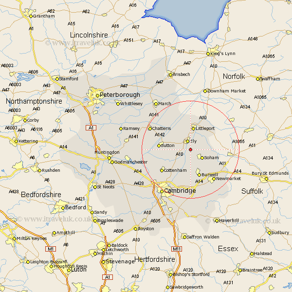
Cambridgeshire Map Showing Location of Stuntney
District: East Cambridgeshire
Easting: 555442 Northing: 276790
Latitude: 52.37 Longitude: 0.28
 = Stuntney
Easting: 555442 Northing: 276790
Latitude: 52.37 Longitude: 0.28
= Stuntney
This Stuntney map below is supplied by Google. Use the tools in the top left corner to zoom into street level or zoom out for a road map, you may also need to zoom in to see Stuntney on the map. Click and drag the map to move around. If the map fails to load try and refresh your browser or zoom in or out (+ or -).
Update - it seems Google no longer allow people to use their maps for free! This Stuntney map sometimes loads and sometimes gives a error. I am working on a solution.
Closest 30 Towns or Cities to Stuntney (Population over 500)
Ely 3.87km Stretham 4.53km Soham 5.86km Witchford 5.95km Wicken 7.5km Downham 7.74km Wilburton 8.14km Haddenham 9.24km Littleport 9.33km Isleham 9.79km Fordham 10.86km Burwell 11.63km Mepal 11.9km Sutton 12.58km Chippenham 12.61km Swaffham Prior 13.03km Manea 14.63km Cottenham 14.64km Waterbeach 14.65km Swaffham Bulbeck 14.83km Willingham 15.73km Bottisham 16.72km Milton 17.38km Histon 17.99km Colne 18.11km Earith 18.2km Bluntisham 18.2km Chatteris 18.34km Long Stanton 18.37km Oakington 18.45km