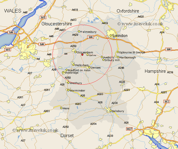
Wiltshire Map Showing Location of Studley
District: North Wiltshire
Easting: 396524 Northing: 170533
Latitude: 51.43 Longitude: -2.05
 = Studley
Easting: 396524 Northing: 170533
Latitude: 51.43 Longitude: -2.05
= Studley
This Studley map below is supplied by Google. Use the tools in the top left corner to zoom into street level or zoom out for a road map, you may also need to zoom in to see Studley on the map. Click and drag the map to move around. If the map fails to load try and refresh your browser or zoom in or out (+ or -).
Update - it seems Google no longer allow people to use their maps for free! This Studley map sometimes loads and sometimes gives a error. I am working on a solution.
Closest 30 Towns or Cities to Studley (Population over 500)
Bremhill 2.19km Calne 3.47km Chippenham 4.98km Lacock 5.92km Laycock 5.92km Hillmarton 6.87km Hilmarton 6.87km Cherhill 7.17km Christian Malford 7.42km Sutton Benger 7.77km Corsham 8.09km Roundway 8.73km Rowde 9.33km Melksham 9.39km Seend 9.55km Bishops Cannings 10.15km Devizes 10.35km Lyneham 10.92km Stanton 10.92km Stanton Saint Quintin 10.92km Stanton St Quintin 10.92km Stanton St. Quintin 10.92km Great Somerford 11.18km Somerford 11.18km Semington 11.57km Yatton Keynell 11.79km Atworth 11.8km Broughton Gifford 11.85km Whitley 11.86km Worton 13.02km