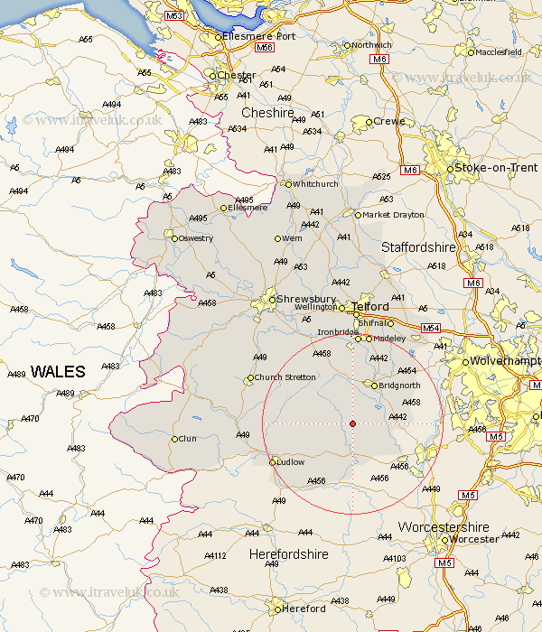
Shropshire Map Showing Location of Stottesden
District: Bridgnorth
Easting: 367156 Northing: 283711
Latitude: 52.45 Longitude: -2.48
 = Stottesden
Easting: 367156 Northing: 283711
Latitude: 52.45 Longitude: -2.48
= Stottesden
This Stottesden map below is supplied by Google. Use the tools in the top left corner to zoom into street level or zoom out for a road map, you may also need to zoom in to see Stottesden on the map. Click and drag the map to move around. If the map fails to load try and refresh your browser or zoom in or out (+ or -).
Update - it seems Google no longer allow people to use their maps for free! This Stottesden map sometimes loads and sometimes gives a error. I am working on a solution.
Closest 30 Towns or Cities to Stottesden (Population over 500)
Kinlet 5.84km Highley 6.78km Cleobury Mortimer 7.42km Ditton Priors 7.92km Alveley 9.04km Bridgnorth 10.3km Bitterley 12.6km Worfield 13.64km Claverley 15.49km Diddlebury 15.92km Caynham 16.68km Barrow 16.72km Barrow Bridge 16.72km Much Wenlock 17.28km Rushbury 17.46km Broseley 18.54km Ludlow 19.32km Ironbridge 20.41km Madeley 20.66km Cressage 22.29km Craven Arms 23.8km Dawley 24.12km Church Stretton 24.15km Wistanstow 24.91km Albrighton 25.1km Shifnal 25.35km Telford 26.3km Berrington 26.63km Ketley 27.8km Hadley 27.8km