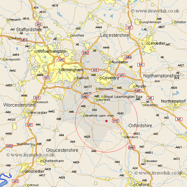
Warwickshire Map Showing Location of Kineton
Population: 2031
Area Size (ha): 49
District: Stratford-on-Avon
Easting: 434207 Northing: 250353
Latitude: 52.15 Longitude: -1.5
 = Kineton
Area Size (ha): 49
District: Stratford-on-Avon
Easting: 434207 Northing: 250353
Latitude: 52.15 Longitude: -1.5
= Kineton
This Kineton map below is supplied by Google. Use the tools in the top left corner to zoom into street level or zoom out for a road map, you may also need to zoom in to see Kineton on the map. Click and drag the map to move around. If the map fails to load try and refresh your browser or zoom in or out (+ or -).
Update - it seems Google no longer allow people to use their maps for free! This Kineton map sometimes loads and sometimes gives a error. I am working on a solution.
Closest 30 Towns or Cities to Kineton (Population over 500)
Lighthorne 3.7km Wellesbourne Hastings 6.78km Wellesbourne 6.78km Ettington 7.07km Eatington 7.07km Bishops Itchington 7.18km Middle Tysoe 7.42km Church Tysoe 7.42km Tysoe 7.42km Fenny Compton 7.96km Bishops Tachbrook 9.54km Harbury 9.87km Whitnash 11.18km Barford 11.5km Lower Brailes 13.18km Brailes 13.18km Southam 13.67km Shipston on Stour 13.68km Shipston-on-Stour 13.68km Stratford upon Avon 14.14km Stratford 14.14km Stratford-on-Avon 14.14km Stratford-upon-Avon 14.14km Stratford on Avon 14.14km Ilmington 14.55km Long Itchington 15.22km Napton-on-the-Hill 15.55km Napton on the Hill 15.55km Napton 15.55km Priors Marston 15.79km