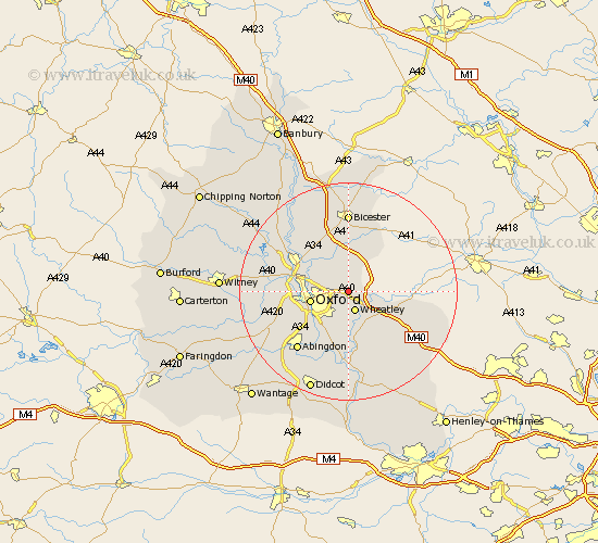
Oxfordshire Map Showing Location of Stanton Saint John
District: South Oxfordshire
Easting: 458649 Northing: 207949
Latitude: 51.77 Longitude: -1.15
 = Stanton Saint John
Easting: 458649 Northing: 207949
Latitude: 51.77 Longitude: -1.15
= Stanton Saint John
This Stanton Saint John map below is supplied by Google. Use the tools in the top left corner to zoom into street level or zoom out for a road map, you may also need to zoom in to see Stanton Saint John on the map. Click and drag the map to move around. If the map fails to load try and refresh your browser or zoom in or out (+ or -).
Update - it seems Google no longer allow people to use their maps for free! This Stanton Saint John map sometimes loads and sometimes gives a error. I am working on a solution.
Closest 30 Towns or Cities to Stanton Saint John (Population over 500)
Beckley 2.94km Wheatley 3.89km Cuddesdon 5.68km Tiddington 6.83km Oxford 7.13km Littlemore 7.21km Milton 7.21km Great Milton 7.21km Garsington 7.42km Islip 7.98km Great Haseley 9.38km Ambrosden 9.54km North Hinksey 9.9km Kidlington 10.72km Radley 10.9km Yarnton 10.96km Stadhampton 11.18km Thame 11.62km Bletchingdon 12.25km Wootton 12.72km Tetsworth 12.72km Drayton Saint Leonard 13.03km Drayton St Leonard 13.03km Drayton St. Leonard 13.03km Drayton 13.03km Sunningwell 13.05km Launton 13.17km Chesterton 13.17km Clifton Hampden 13.43km Kirtlington 13.71km