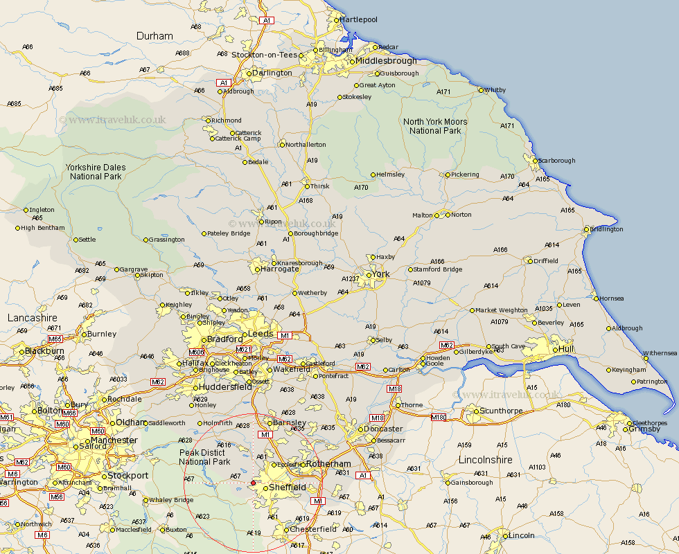
Yorkshire Map Showing Location of Stannington
District: Sheffield
Easting: 429928 Northing: 387507
Latitude: 53.38 Longitude: -1.55
 = Stannington
Easting: 429928 Northing: 387507
Latitude: 53.38 Longitude: -1.55
= Stannington
This Stannington map below is supplied by Google. Use the tools in the top left corner to zoom into street level or zoom out for a road map, you may also need to zoom in to see Stannington on the map. Click and drag the map to move around. If the map fails to load try and refresh your browser or zoom in or out (+ or -).
Update - it seems Google no longer allow people to use their maps for free! This Stannington map sometimes loads and sometimes gives a error. I am working on a solution.
Closest 30 Towns or Cities to Stannington (Population over 500)
Sheffield 3.8km Bradfield 4.98km Oughtibridge 5.56km Wharncliffe Side 5.56km Wharncliffe 5.56km Ecclesfield 7.84km Wortley 11.17km Stocksbridge 11.6km Orgreave 12.16km Tankersley 12.41km Wentworth 12.81km Treeton 13.27km Birdwell 13.71km Rotherham 14.38km Rotherdam 14.38km Whiston 14.49km Hoyland Nether 14.57km Hoyland 14.57km Beighton 15.42km Penistone 15.48km Worsborough 15.48km Worsbrough 15.48km Rawmarsh 16.16km Silkstone 16.72km Dodworth 16.72km Aston 17km Wombwell 17.85km Wickersley 18.07km Thrybergh 18.15km Wath 18.54km