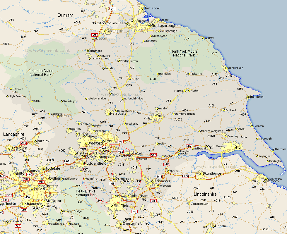
Yorkshire Map Showing Location of Staincross
District: Barnsley
Easting: 433097 Northing: 409777
Latitude: 53.58 Longitude: -1.5
 = Staincross
Easting: 433097 Northing: 409777
Latitude: 53.58 Longitude: -1.5
= Staincross
This Staincross map below is supplied by Google. Use the tools in the top left corner to zoom into street level or zoom out for a road map, you may also need to zoom in to see Staincross on the map. Click and drag the map to move around. If the map fails to load try and refresh your browser or zoom in or out (+ or -).
Update - it seems Google no longer allow people to use their maps for free! This Staincross map sometimes loads and sometimes gives a error. I am working on a solution.
Closest 30 Towns or Cities to Staincross (Population over 500)
Notton 2.16km Woolley 2.16km Darton 2.2km Royston 3.79km Barnsley 3.86km Shafton 5.5km West Bretton 5.76km Bretton 5.76km Ryhill 5.76km Cawthorne 5.8km Cudworth 5.8km Crigglestone 5.98km Dodworth 5.98km Silkstone 7.09km Worsborough 7.49km Worsbrough 7.49km Crofton 9.23km Birdwell 9.33km Fitzwilliam 9.5km Darsfield 9.5km Darfield 9.5km Emley 9.55km Little Houghton 9.55km Hoyland Nether 9.83km Hoyland 9.83km Horbury 9.84km Middletown 9.93km Middlestown 9.93km Wombwell 9.93km Hemsworth 10.07km