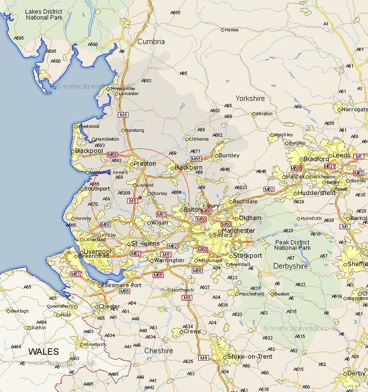
Lancashire Map Showing Location of Springfield
District: Chorley
Easting: 355921 Northing: 415429
Latitude: 53.63 Longitude: -2.67
 = Springfield
Easting: 355921 Northing: 415429
Latitude: 53.63 Longitude: -2.67
= Springfield
This Springfield map below is supplied by Google. Use the tools in the top left corner to zoom into street level or zoom out for a road map, you may also need to zoom in to see Springfield on the map. Click and drag the map to move around. If the map fails to load try and refresh your browser or zoom in or out (+ or -).
Update - it seems Google no longer allow people to use their maps for free! This Springfield map sometimes loads and sometimes gives a error. I am working on a solution.
Closest 30 Towns or Cities to Springfield (Population over 500)
Euxton 1.86km Coppull 2.15km Eccleston 3.3km Chorley 3.78km Penrith 4.77km Heapey 4.97km Standish 5.56km Adlington 5.75km Leyland 5.98km Haigh 6.63km Mawdesley 6.85km Croston 6.85km Shevington 7.49km Blackrod 7.82km Appley Bridge 8.11km Horwich 8.54km Brinscall 8.62km Parbold 8.63km Farington 9.53km Farrington 9.53km Bretherton 9.54km Withnell 10.68km Hoghton 10.78km Rufford 11.14km Hoole 11.5km Much Hoole 11.5km Tarleton 11.59km Ince-in-Makerfield 11.6km Ince 11.6km Wigan 11.6km