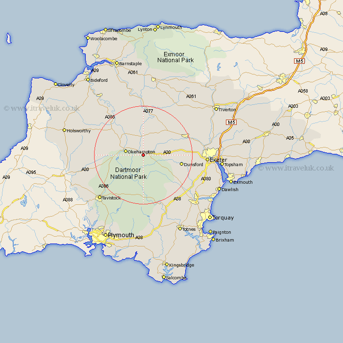
Devon Map Showing Location of South Zeal
District: West Devon
Easting: 265885 Northing: 92570
Latitude: 50.72 Longitude: -3.9
 = South Zeal
Easting: 265885 Northing: 92570
Latitude: 50.72 Longitude: -3.9
= South Zeal
This South Zeal map below is supplied by Google. Use the tools in the top left corner to zoom into street level or zoom out for a road map, you may also need to zoom in to see South Zeal on the map. Click and drag the map to move around. If the map fails to load try and refresh your browser or zoom in or out (+ or -).
Update - it seems Google no longer allow people to use their maps for free! This South Zeal map sometimes loads and sometimes gives a error. I am working on a solution.
Closest 30 Towns or Cities to South Zeal (Population over 500)
South Tawton 1.85km Chagford 5.99km Okehampton 7.28km Sampford Courtney 8.2km Sampford Courtnay 8.2km Sampford Courtenay 8.2km Drewsteignton 8.42km North Tawton 9.26km Bow 10.96km Nymet Tracey 10.96km Cheriton Bishop 11.88km Moretonhampstead 12.91km Copplestone 14.04km Bridestowe 14.57km Dartmoor Forest 14.88km Tedburn St. Mary 15.36km Tedburn Saint Mary 15.36km Tedburn St Mary 15.36km Dunsford 15.7km Hatherleigh 16.16km Northlew 16.23km Lustleigh 17.05km Lapford 18.1km Widdecombe 18.11km Widecombe in the Moor 18.11km Morchard Bishop 18.19km Holcombe Burnell 18.77km Crediton 19.09km Christow 19.11km Sandford 19.82km