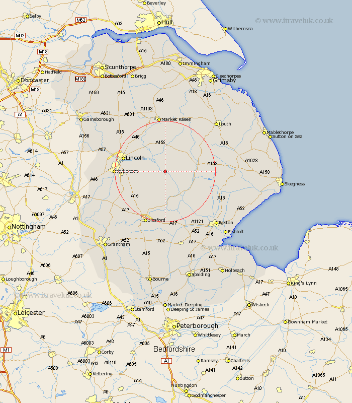
Lincolnshire Map Showing Location of Southrey
District: West Lindsey
Easting: 513588 Northing: 366514
Latitude: 53.18 Longitude: -0.3
 = Southrey
Easting: 513588 Northing: 366514
Latitude: 53.18 Longitude: -0.3
= Southrey
This Southrey map below is supplied by Google. Use the tools in the top left corner to zoom into street level or zoom out for a road map, you may also need to zoom in to see Southrey on the map. Click and drag the map to move around. If the map fails to load try and refresh your browser or zoom in or out (+ or -).
Update - it seems Google no longer allow people to use their maps for free! This Southrey map sometimes loads and sometimes gives a error. I am working on a solution.
Closest 30 Towns or Cities to Southrey (Population over 500)
Bardney 3.88km Woodhall Spa 6.68km Dunston 7.63km Martin 7.73km Potter Hanworth 7.77km Nocton 7.99km Metheringham 8.68km Cherry Willingham 10.17km Reepham 10.48km Fiskerton 10.48km Branston 11.11km Wragby 11.12km Billinghay 11.17km Heighington 11.26km Scopwick 11.41km Tattershall 11.41km Coningsby 11.57km Washingborough 11.71km Digby 11.98km Banovallum 12.35km Horncastle 12.35km Holton 13.17km Bloxholm 13.57km Bloxholme 13.57km Sudbrooke 13.63km Scothern 14.94km Nettleham 15.33km Mareham 15.55km Mareham-on-the-Hill 15.55km Mareham on the Hill 15.55km