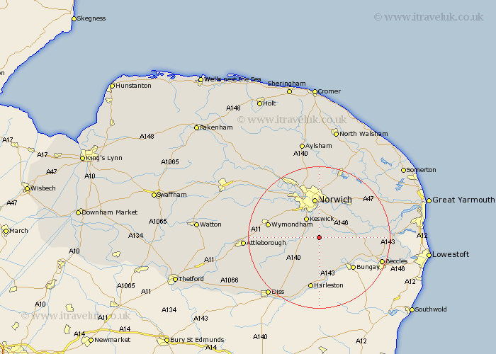
Norfolk Map Showing Location of Shotesham All Saints
District: South Norfolk
Easting: 624921 Northing: 298035
Latitude: 52.53 Longitude: 1.32
 = Shotesham All Saints
Easting: 624921 Northing: 298035
Latitude: 52.53 Longitude: 1.32
= Shotesham All Saints
This Shotesham All Saints map below is supplied by Google. Use the tools in the top left corner to zoom into street level or zoom out for a road map, you may also need to zoom in to see Shotesham All Saints on the map. Click and drag the map to move around. If the map fails to load try and refresh your browser or zoom in or out (+ or -).
Update - it seems Google no longer allow people to use their maps for free! This Shotesham All Saints map sometimes loads and sometimes gives a error. I am working on a solution.
Closest 30 Towns or Cities to Shotesham All Saints (Population over 500)
Stoke Holy Cross 2.17km Poringland 2.92km Saxlingham Thorpe 3.38km Saxlingham 3.38km Hempnall 3.87km Brooke 4.88km Swardeston 5.84km Mulbarton 5.93km Long Stratton 7.92km Thurton 8.1km Cringleford 8.68km Forncett St. Mary 8.72km Forncett St Mary 8.72km Forncett Saint Mary 8.72km Forncett 8.72km Ashwellthorpe 9.02km Loddon 10.31km Ditchingham 10.83km Norwich 11.18km Thorpe Saint Andrew 11.35km Thorpe 11.35km Thorpe Episcopi 11.35km Thorpe St Andrew 11.35km Thorpe next Norwich 11.35km Thorpe St. Andrew 11.35km Earsham 11.47km Hethersett 11.67km Moulton 11.67km Moulton St Michael 11.67km Great Moulton 11.67km