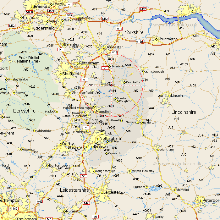
Nottinghamshire Map Showing Location of Scofton
District: Bassetlaw
Easting: 463305 Northing: 378567
Latitude: 53.3 Longitude: -1.05
 = Scofton
Easting: 463305 Northing: 378567
Latitude: 53.3 Longitude: -1.05
= Scofton
This Scofton map below is supplied by Google. Use the tools in the top left corner to zoom into street level or zoom out for a road map, you may also need to zoom in to see Scofton on the map. Click and drag the map to move around. If the map fails to load try and refresh your browser or zoom in or out (+ or -).
Update - it seems Google no longer allow people to use their maps for free! This Scofton map sometimes loads and sometimes gives a error. I am working on a solution.
Closest 30 Towns or Cities to Scofton (Population over 500)
Worksop 5.54km Elkesley 6.66km Elksley 6.66km Sutton 7.11km Blyth 7.5km Ramskill 7.74km Ranskill 7.74km East Retford 7.97km Shireoaks 7.97km Walesby 8.64km Ollerton 9.52km Grove 9.97km Styrrup 11.34km Hayton 11.41km Clarborough 11.41km Boughton 11.74km East Markham 12.4km Markham 12.4km Mattersey 12.42km Everton 12.95km Warsop 12.96km Bircotes 12.98km Edwinstowe 13.02km Harworth 13.02km Tuxford 14.45km Gringley 14.93km Gringley on the Hill 14.93km Gringley-on-the-Hill 14.93km Clipstone 15.19km North Leverton 15.61km