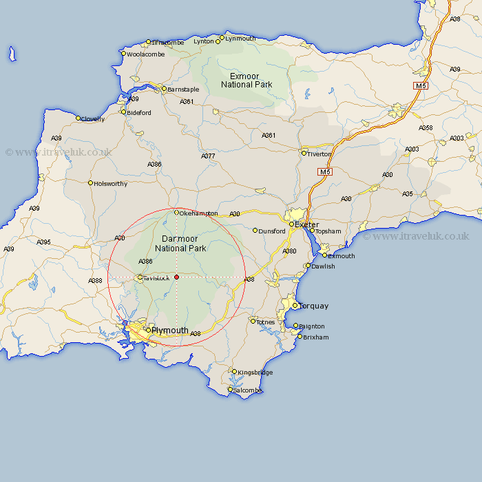
Devon Map Showing Location of Princeton
District: West Devon
Easting: 258326 Northing: 74224
Latitude: 50.55 Longitude: -4
 = Princeton
Easting: 258326 Northing: 74224
Latitude: 50.55 Longitude: -4
= Princeton
This Princeton map below is supplied by Google. Use the tools in the top left corner to zoom into street level or zoom out for a road map, you may also need to zoom in to see Princeton on the map. Click and drag the map to move around. If the map fails to load try and refresh your browser or zoom in or out (+ or -).
Update - it seems Google no longer allow people to use their maps for free! This Princeton map sometimes loads and sometimes gives a error. I am working on a solution.
Closest 30 Towns or Cities to Princeton (Population over 500)
Walkhampton 5.99km Dartmoor Forest 6.95km Meavy 8.22km Horrabridge 8.99km Yelverton 9.47km Whitechurch 9.6km Whitchurch 9.6km Tavistock 10.6km Buckland Monachorum 10.94km Shaugh Prior 11.67km Bickleigh 12.08km Lamerton 13.08km Widdecombe 14.25km Widecombe in the Moor 14.25km Cornwood 15.01km Gunnislake 15.42km Bridestowe 16.42km Buckfastleigh 17.02km South Brent 17.53km Brent 17.53km Ashburton 18.05km Milton Abbot 18.51km Plymouth 18.61km Chagford 18.92km Ilsington 18.93km Ivybridge 19.45km Okehampton 20.39km Moretonhampstead 20.86km Ermington 21.22km Lustleigh 21.34km