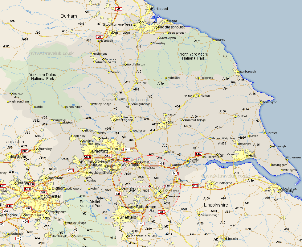
Yorkshire Map Showing Location of Pickburn
District: Doncaster
Easting: 451873 Northing: 408099
Latitude: 53.57 Longitude: -1.22
 = Pickburn
Easting: 451873 Northing: 408099
Latitude: 53.57 Longitude: -1.22
= Pickburn
This Pickburn map below is supplied by Google. Use the tools in the top left corner to zoom into street level or zoom out for a road map, you may also need to zoom in to see Pickburn on the map. Click and drag the map to move around. If the map fails to load try and refresh your browser or zoom in or out (+ or -).
Update - it seems Google no longer allow people to use their maps for free! This Pickburn map sometimes loads and sometimes gives a error. I am working on a solution.
Closest 30 Towns or Cities to Pickburn (Population over 500)
Carcroft 2.2km Adwick le Street 2.2km Brodsworth 3.79km South Elmsall 4.77km Sutton 4.96km South Kirkby 5.22km Bentley 5.76km Moorthorpe 5.8km Campsall 5.98km North Elmsall 5.98km Dearne 6.64km Upton 7.09km Sprotboro 7.5km Sprotbrough 7.5km Doncaster 7.58km Norton 7.73km Warmsworth 7.74km Askern 7.82km Badsworth 7.82km Kirk Sandall 9km Great Houghton 9km Houghton 9km Hemsworth 9.55km Mexborough 9.84km Barnby Don 9.91km Barnby Dun 9.91km Little Houghton 10.08km Conisbrough 11.12km Conisborough 11.12km Darrington 11.34km