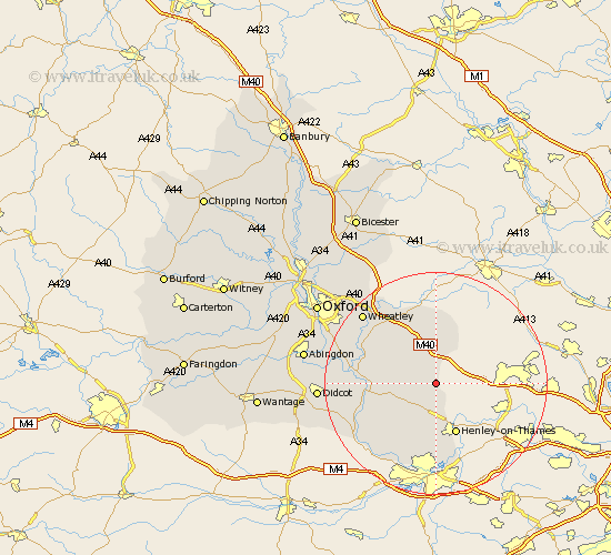
Oxfordshire Map Showing Location of Northend
District: South Oxfordshire
Easting: 472689 Northing: 191449
Latitude: 51.62 Longitude: -0.95
 = Northend
Easting: 472689 Northing: 191449
Latitude: 51.62 Longitude: -0.95
= Northend
This Northend map below is supplied by Google. Use the tools in the top left corner to zoom into street level or zoom out for a road map, you may also need to zoom in to see Northend on the map. Click and drag the map to move around. If the map fails to load try and refresh your browser or zoom in or out (+ or -).
Update - it seems Google no longer allow people to use their maps for free! This Northend map sometimes loads and sometimes gives a error. I am working on a solution.
Closest 30 Towns or Cities to Northend (Population over 500)
Watlington 3.91km Aston Rowant 5.56km Lewknor 5.68km Nettlebed 6.02km Bix 7.42km Nuffield 8km Chinnor 8.17km Ewelme 8.27km Rotherfield Peppard 9.35km Tetsworth 9.88km Henley on Thames 9.89km Henley-on-Thames 9.89km Chalgrove 9.92km Harpsden 11.64km Benson 11.65km Great Haseley 12.27km Warborough 12.66km Wallingford 12.8km Drayton St. Leonard 13.18km Drayton Saint Leonard 13.18km Drayton St Leonard 13.18km Drayton 13.18km Stadhampton 13.82km Great Milton 14.43km Milton 14.43km Cholsey 14.89km Thame 15km Dorchester 15.07km Shiplake 15.23km Tiddington 15.26km