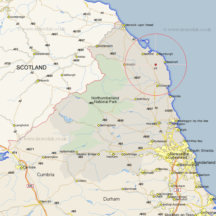
Northumberland Map Showing Location of Newham
District: Berwick-upon-Tweed
Easting: 417881 Northing: 626656
Latitude: 55.53 Longitude: -1.72
 = Newham
Easting: 417881 Northing: 626656
Latitude: 55.53 Longitude: -1.72
= Newham
This Newham map below is supplied by Google. Use the tools in the top left corner to zoom into street level or zoom out for a road map, you may also need to zoom in to see Newham on the map. Click and drag the map to move around. If the map fails to load try and refresh your browser or zoom in or out (+ or -).
Update - it seems Google no longer allow people to use their maps for free! This Newham map sometimes loads and sometimes gives a error. I am working on a solution.
Closest 30 Towns or Cities to Newham (Population over 500)
North Sunderland 4.87km Beadnell 5.56km Embleton 8.4km Belford 10.43km Alnwick 14.86km Almwick 14.86km Alnmouth 16.55km Wooler 17.83km Lesbury 17.83km Lisburg 17.83km Shilbottle 18.64km Lowick 19.25km Warkworth 21.34km Amble 23.78km Ancroft 25.69km Swarland 25.96km Rothbury 26.72km Felton 27.82km Thirston 27.88km East Thirston 27.88km Longframlington 28.12km East Chevington 29.05km Ord 30.58km East Ord 30.58km Berwick upon Tweed 33km Berwick-Upon-Tweed 33km Berwick on Tweed 33km Berwick 33km Berwick-upon-Tweed 33km Berwick-on-Tweed 33km