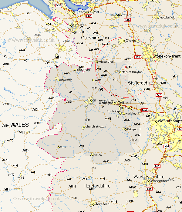
Shropshire Map Showing Location of Mucklestone
District: North Shropshire
Easting: 371996 Northing: 337438
Latitude: 52.93 Longitude: -2.42
 = Mucklestone
Easting: 371996 Northing: 337438
Latitude: 52.93 Longitude: -2.42
= Mucklestone
This Mucklestone map below is supplied by Google. Use the tools in the top left corner to zoom into street level or zoom out for a road map, you may also need to zoom in to see Mucklestone on the map. Click and drag the map to move around. If the map fails to load try and refresh your browser or zoom in or out (+ or -).
Update - it seems Google no longer allow people to use their maps for free! This Mucklestone map sometimes loads and sometimes gives a error. I am working on a solution.
Closest 30 Towns or Cities to Mucklestone (Population over 500)
Norton in Hales 2.9km Market Drayton 4.99km Woore 5.67km Broughton 5.8km Cheswardine 7.41km Hinstock 11.34km Stoke upon Tern 12.13km Stoke 12.13km Hodnet 14.52km Chetwynd 16.72km Newport 16.83km Precs 17.66km Prees 17.66km Whitchurch 18.25km Edgmond 18.53km Cherrington 19.35km Stanton upon Hine Heath 20.33km Stanton 20.33km Whixall 20.45km Wem 22.15km Lilleshall 22.27km Shawbury 22.88km Woodcote 22.93km High Ercall 23.81km Ercall Magna 23.81km Downington 24.11km Donnington 24.11km Trench 24.32km Loppington 25.68km Oakengates 25.97km