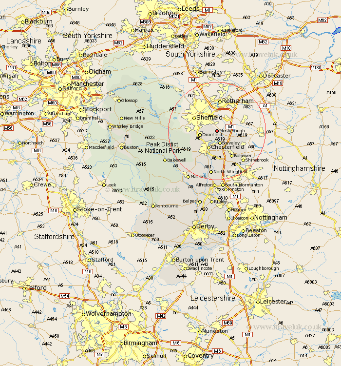
Derbyshire Map Showing Location of Mosborough
Population: 14993
Area Size (ha): 335
District: North East Derbyshire
Easting: 442187 Northing: 380191
Latitude: 53.32 Longitude: -1.37
 = Mosborough
Area Size (ha): 335
District: North East Derbyshire
Easting: 442187 Northing: 380191
Latitude: 53.32 Longitude: -1.37
= Mosborough
This Mosborough map below is supplied by Google. Use the tools in the top left corner to zoom into street level or zoom out for a road map, you may also need to zoom in to see Mosborough on the map. Click and drag the map to move around. If the map fails to load try and refresh your browser or zoom in or out (+ or -).
Update - it seems Google no longer allow people to use their maps for free! This Mosborough map sometimes loads and sometimes gives a error. I am working on a solution.
Closest 30 Towns or Cities to Mosborough (Population over 500)
Eckington 1.86km Killamarsh 3.32km Staveley 5.67km Unstone 5.78km Barlborough 6.67km Dronfield 6.9km Brimington 7.74km Chesterfield 8.13km Barlow 9.54km Clowne 9.54km Whitwell 10.64km Holmesfield 10.64km Elmton 10.73km Bolsover 12.42km Cresswell 12.43km Creswell 12.43km Old Brampton 12.83km Brampton 12.83km Walton 12.96km Heath 13.16km Wingerworth 13.71km Ault Hucknall 15.48km Shirebrook 16.37km Grindleford Bridge 18.11km Grindleford 18.11km North Wingfield 18.31km Ashover 18.4km Pilsley 18.54km Hathersage 18.82km Clay Cross 18.83km