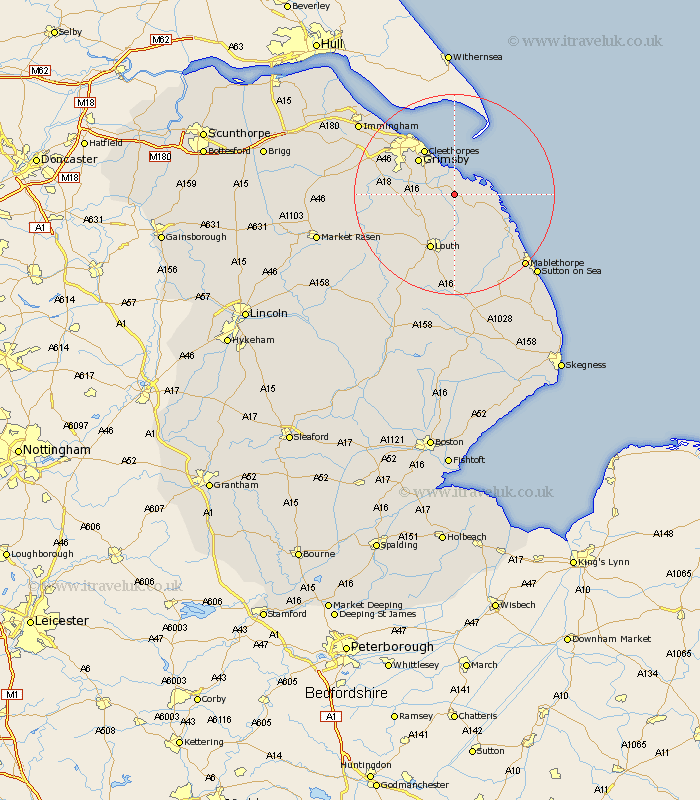
Lincolnshire Map Showing Location of Marsh Chapel
District: East Lindsey
Easting: 536066 Northing: 398646
Latitude: 53.47 Longitude: 0.05
 = Marsh Chapel
Easting: 536066 Northing: 398646
Latitude: 53.47 Longitude: 0.05
= Marsh Chapel
This Marsh Chapel map below is supplied by Google. Use the tools in the top left corner to zoom into street level or zoom out for a road map, you may also need to zoom in to see Marsh Chapel on the map. Click and drag the map to move around. If the map fails to load try and refresh your browser or zoom in or out (+ or -).
Update - it seems Google no longer allow people to use their maps for free! This Marsh Chapel map sometimes loads and sometimes gives a error. I am working on a solution.
Closest 30 Towns or Cities to Marsh Chapel (Population over 500)
North Coates 1.1km Grainthorpe 2.21km Tetney 4.78km Fulstow 4.79km North Thoresby 6.62km North Somercotes 7.59km Humberston 9.23km Humberstone 9.23km Holton le Clay 9.51km Great Grimsby 9.93km Grimsby 9.93km Saltfleet 10.44km Cleethorpes 10.78km Grimoldby 11.34km Waltham 11.37km Saltfleetby Saint Clement 11.53km Saltfleetby St. Clement 11.53km Saltfleetby 11.53km Saltfleetby St Clement 11.53km Manby 11.6km Louth 11.96km Great Coates 14.19km Legbourne 14.83km binbrook 15.89km Laceby 16.13km Healing 18.13km Mablethorpe 19.9km Stallingborough 20.15km South Killingholme 21.78km Keelby 22.74km