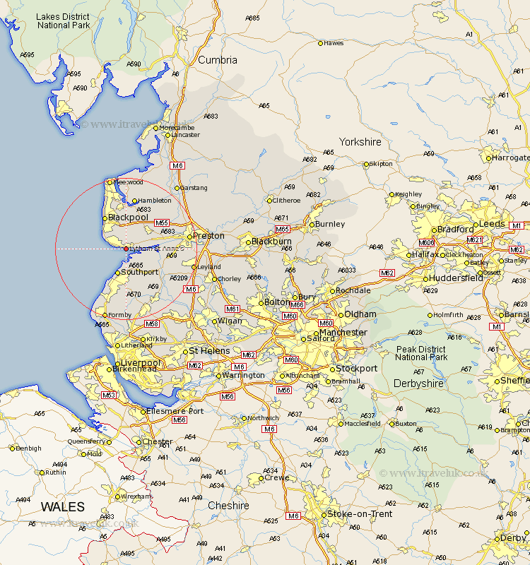
Lancashire Map Showing Location of Lytham St. Anne's
Population: 40618
Area Size (ha): 1243
District: West Lancashire
Easting: 336237 Northing: 426781
Latitude: 53.73 Longitude: -2.97
 = Lytham St. Anne's
Area Size (ha): 1243
District: West Lancashire
Easting: 336237 Northing: 426781
Latitude: 53.73 Longitude: -2.97
= Lytham St. Anne's
This Lytham St. Anne's map below is supplied by Google. Use the tools in the top left corner to zoom into street level or zoom out for a road map, you may also need to zoom in to see Lytham St. Anne's on the map. Click and drag the map to move around. If the map fails to load try and refresh your browser or zoom in or out (+ or -).
Update - it seems Google no longer allow people to use their maps for free! This Lytham St. Anne's map sometimes loads and sometimes gives a error. I am working on a solution.
Closest 30 Towns or Cities to Lytham St. Anne's (Population over 500)
Plumpton 5.98km Banks 6.46km Warton 6.62km Freckleton 6.83km Southport 7.72km Kirkham 8.61km Blackpool 10.77km Longton 11.12km Poulton 11.17km Poulton le Fylde 11.17km Singleton 11.33km Great Singleton 11.33km Tarleton 11.48km Lea Town 11.57km Lea 11.57km Much Hoole 11.58km Hoole 11.58km Elswick 12.39km Hutton 13.16km Bretherton 13.24km Inskip 14.16km Great Eccleston 14.54km Eccleston 14.54km Scarisbrick 14.98km Hambleton 14.99km Thornton 15.19km Penwortham 15.46km Rufford 15.66km Cleveleys 15.81km Woodplumpton 16.06km