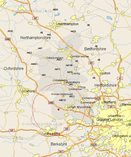
Buckinghamshire Map Showing Location of Lane End
Population: 2613
Area Size (ha): 59
District: Wycombe
Easting: 478458 Northing: 191531
Latitude: 51.62 Longitude: -0.87
 = Lane End
Area Size (ha): 59
District: Wycombe
Easting: 478458 Northing: 191531
Latitude: 51.62 Longitude: -0.87
= Lane End
This Lane End map below is supplied by Google. Use the tools in the top left corner to zoom into street level or zoom out for a road map, you may also need to zoom in to see Lane End on the map. Click and drag the map to move around. If the map fails to load try and refresh your browser or zoom in or out (+ or -).
Update - it seems Google no longer allow people to use their maps for free! This Lane End map sometimes loads and sometimes gives a error. I am working on a solution.
Closest 30 Towns or Cities to Lane End (Population over 500)
Stokenchurch 4.36km West Wycombe 4.96km Hambleden 5.56km Bradenham 5.91km High Wycombe 7.15km Chepping 7.15km Wycombe 7.15km Radnage 7.41km Medmenham 7.5km Marlow 8.86km Great Marlow 8.86km Hughenden 9.92km Little Marlow 9.93km Bledlow 11.12km Princes Risborough 11.65km Flackwell Heath 11.66km Hazlemere 12.08km Penn 12.66km Bourne End 12.78km Longwick 13.02km Prestwood 13.06km Great Kimble 13.76km Kimble 13.76km Wooburn 13.83km Great Missenden 14.77km Little Missenden 14.88km Ellesborough 15.9km Beaconsfield 16.22km Lee 16.84km Taplow 16.86km