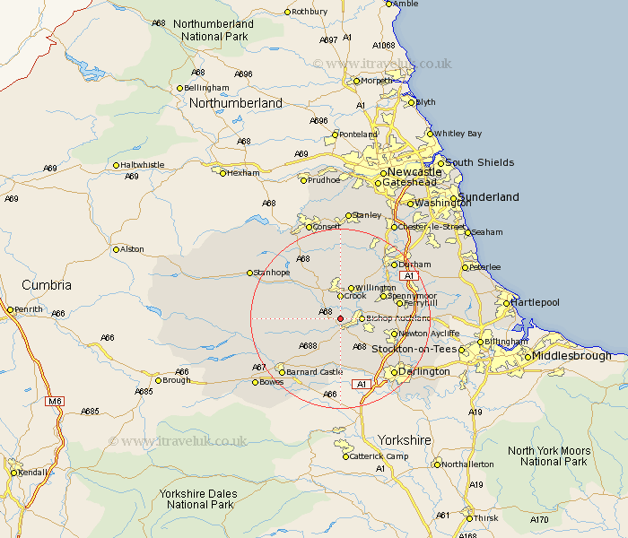
Durham Map Showing Location of Low Etherley
District: Wear Valley
Easting: 417204 Northing: 528367
Latitude: 54.65 Longitude: -1.73
 = Low Etherley
Easting: 417204 Northing: 528367
Latitude: 54.65 Longitude: -1.73
= Low Etherley
This Low Etherley map below is supplied by Google. Use the tools in the top left corner to zoom into street level or zoom out for a road map, you may also need to zoom in to see Low Etherley on the map. Click and drag the map to move around. If the map fails to load try and refresh your browser or zoom in or out (+ or -).
Update - it seems Google no longer allow people to use their maps for free! This Low Etherley map sometimes loads and sometimes gives a error. I am working on a solution.
Closest 30 Towns or Cities to Low Etherley (Population over 500)
High Etherley 1.07km Etherley 1.07km West Auckland 1.86km Evenwood 4.28km Bishop Auckland 4.29km Crook 5.56km Cockfield 5.67km Coundon 5.67km Shildon 5.68km Willington 7.72km Spennymoor 10.18km Staindrop 10.21km Tow Law 10.7km Gainford 11.12km Newton Aycliffe 11.35km Wolsingham 12.16km Ferryhill 12.36km Brandon 13.41km Cornsay 14.98km Esh 14.98km West Cornforth 15km Cornforth 15km Ushaw Moor 15.76km Bishop Middleham 16.5km Bowburn 16.73km Coxhoe 16.73km Durham 16.82km Darlington 16.84km Langley Park 17.22km Startforth 17.55km