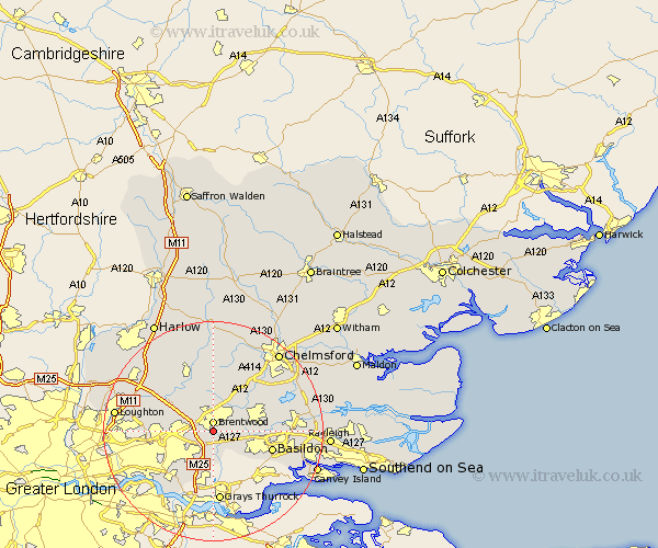
Essex Map Showing Location of Little Warley
District: Brentwood
Easting: 560428 Northing: 191612
Latitude: 51.6 Longitude: 0.32
 = Little Warley
Easting: 560428 Northing: 191612
Latitude: 51.6 Longitude: 0.32
= Little Warley
This Little Warley map below is supplied by Google. Use the tools in the top left corner to zoom into street level or zoom out for a road map, you may also need to zoom in to see Little Warley on the map. Click and drag the map to move around. If the map fails to load try and refresh your browser or zoom in or out (+ or -).
Update - it seems Google no longer allow people to use their maps for free! This Little Warley map sometimes loads and sometimes gives a error. I am working on a solution.
Closest 30 Towns or Cities to Little Warley (Population over 500)
Brentwood 1.86km Ingrave 2.18km Herongate 2.25km Mountnessing 4.36km Navestock 6.84km Billericay 7.15km Great Burstead 7.15km Kelvedon Hatch 7.76km Ingatestone 8.73km Ramsden Heath 9.39km Stock 9.79km Stanford Rivers 10.13km Basildon 11.01km South Ockedon 11.18km South Ockendon 11.18km Margaretting 11.55km High Ongar 11.64km Chipping Ongar 12.03km Corringham 12.85km Grays Thurrock 13.03km Grays 13.03km Stanford le Hope 13.09km Aveley 13.77km Wickford 13.81km West Hanningfield 13.82km South Hanningfield 14.3km Ongar Station 15.19km North Weald 15.19km Galleywood 15.19km Fyfield 15.22km