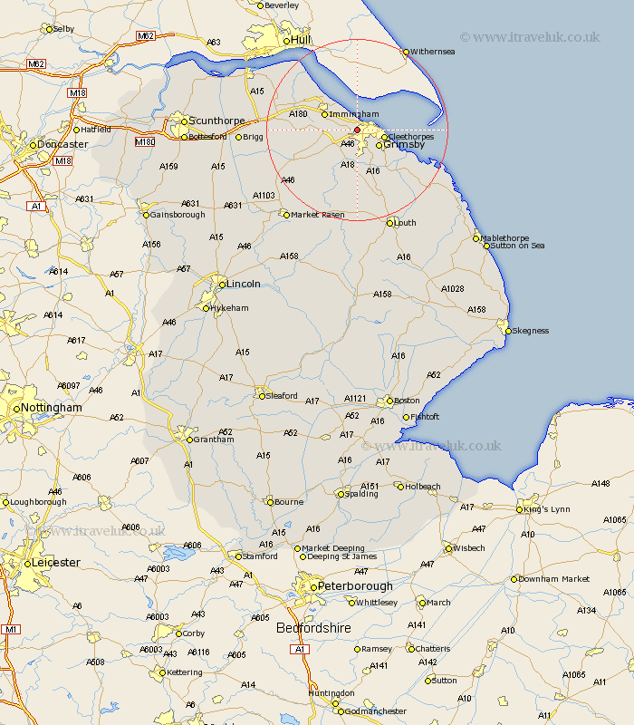
Lincolnshire Map Showing Location of Little Coates
Easting: 524711 Northing: 409463
Latitude: 53.57 Longitude: -0.12
 = Little Coates
Latitude: 53.57 Longitude: -0.12
= Little Coates
This Little Coates map below is supplied by Google. Use the tools in the top left corner to zoom into street level or zoom out for a road map, you may also need to zoom in to see Little Coates on the map. Click and drag the map to move around. If the map fails to load try and refresh your browser or zoom in or out (+ or -).
Update - it seems Google no longer allow people to use their maps for free! This Little Coates map sometimes loads and sometimes gives a error. I am working on a solution.
Closest 30 Towns or Cities to Little Coates (Population over 500)
Great Coates 2.2km Healing 3.3km Stallingborough 4.77km Laceby 4.97km Waltham 5.67km Great Grimsby 5.76km Grimsby 5.76km Cleethorpes 5.81km Holton le Clay 6.47km Humberston 6.64km Humberstone 6.64km Immingham 7.57km South Killingholme 7.7km Keelby 8.8km Habrough 9.55km Tetney 11.39km North Thoresby 11.96km Fulstow 14.56km North Coates 14.9km Ulceby 15.34km binbrook 15.47km East Halton 15.64km Caistor 16.15km Nettleton 16.15km Grainthorpe 17.28km Goxhill 18.11km Barnetby le Wold 18.71km Barnetby 18.71km Barrow upon Humber 21.85km Barrow-upon-Humber 21.85km