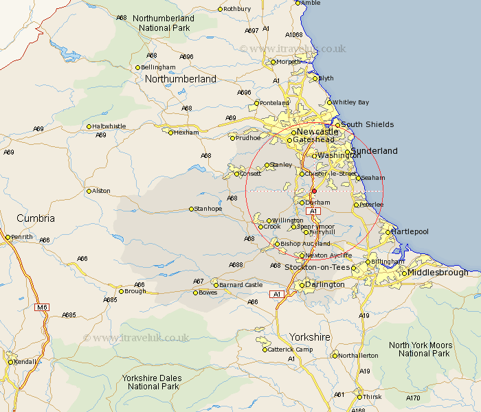
Durham Map Showing Location of Leamside
District: Durham
Easting: 431068 Northing: 545131
Latitude: 54.8 Longitude: -1.52
 = Leamside
Easting: 431068 Northing: 545131
Latitude: 54.8 Longitude: -1.52
= Leamside
This Leamside map below is supplied by Google. Use the tools in the top left corner to zoom into street level or zoom out for a road map, you may also need to zoom in to see Leamside on the map. Click and drag the map to move around. If the map fails to load try and refresh your browser or zoom in or out (+ or -).
Update - it seems Google no longer allow people to use their maps for free! This Leamside map sometimes loads and sometimes gives a error. I am working on a solution.
Closest 30 Towns or Cities to Leamside (Population over 500)
Pittington 2.14km West Rainton 2.14km Shincliffe 3.85km Sherburn 4.28km Hetton le Hole 4.66km Durham 4.9km Chester-le-Street 6.42km Houghton le Spring 6.42km Murton 6.67km Sacriston 6.67km Haswell 6.67km Bowburn 7.41km Witton Gilbert 7.48km South Hetton 7.48km Thornley 7.71km Brandon 8.49km Ushaw Moor 8.75km Pelton 9.14km Seaton 9.31km Edmondsley 9.31km Coxhoe 9.32km Langley Park 9.61km Dalton 9.79km Dalton le Dale 9.79km Shotton 9.79km Birtley 9.8km Easington 10.23km Washington New Town 11.12km Washington 11.12km West Cornforth 11.12km