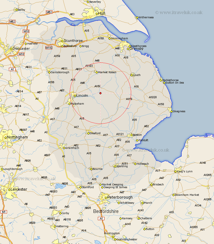
Lincolnshire Map Showing Location of Kingthorpe
District: West Lindsey
Easting: 513411 Northing: 373933
Latitude: 53.25 Longitude: -0.3
 = Kingthorpe
Easting: 513411 Northing: 373933
Latitude: 53.25 Longitude: -0.3
= Kingthorpe
This Kingthorpe map below is supplied by Google. Use the tools in the top left corner to zoom into street level or zoom out for a road map, you may also need to zoom in to see Kingthorpe on the map. Click and drag the map to move around. If the map fails to load try and refresh your browser or zoom in or out (+ or -).
Update - it seems Google no longer allow people to use their maps for free! This Kingthorpe map sometimes loads and sometimes gives a error. I am working on a solution.
Closest 30 Towns or Cities to Kingthorpe (Population over 500)
Wragby 3.7km Bardney 3.87km Holton 5.99km Cherry Willingham 8.61km Fiskerton 9.06km Reepham 9.06km Sudbrooke 10.15km Scothern 10.64km Potter Hanworth 10.74km Washingborough 11.69km Nocton 12.09km Nettleham 12.34km Dunholme 12.4km Dunholm 12.4km Heighington 12.41km Woodhall Spa 12.43km Dunston 12.96km Branston 13.35km Welton 13.4km Banovallum 13.41km Horncastle 13.41km Metheringham 14.59km Market Rasen 14.99km Martin 14.99km Middle Rasen 15.47km Lincoln 15.64km Mareham-on-the-Hill 17.22km Mareham 17.22km Mareham on the Hill 17.22km Coningsby 17.28km