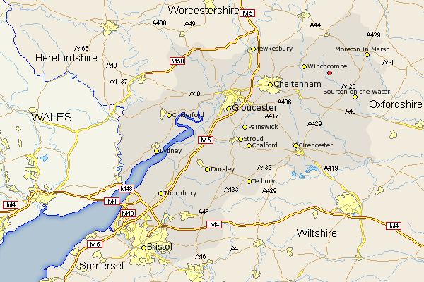
Gloucestershire Map Showing Location of Kineton
District: Cotswold
Easting: 410311 Northing: 226146
Latitude: 51.93 Longitude: -1.85
 = Kineton
Easting: 410311 Northing: 226146
Latitude: 51.93 Longitude: -1.85
= Kineton
This Kineton map below is supplied by Google. Use the tools in the top left corner to zoom into street level or zoom out for a road map, you may also need to zoom in to see Kineton on the map. Click and drag the map to move around. If the map fails to load try and refresh your browser or zoom in or out (+ or -).
Update - it seems Google no longer allow people to use their maps for free! This Kineton map sometimes loads and sometimes gives a error. I am working on a solution.
Closest 30 Towns or Cities to Kineton (Population over 500)
Winchcombe 7.1km Winchcomb 7.1km Stow on the Wold 8km Stow-on-the-Wold 8km Andoversford 10.1km Bourton-on-the-Water 10.1km Bourton on the Water 10.1km Northleach 11.35km Blockley 11.53km Alderton 11.68km Moreton in Marsh 11.69km Moreton in the Marsh 11.69km Moreton-in-Marsh 11.69km Chipping Campden 12.02km Dumbleton 12.24km Withington 13.07km Southam 13.71km Bishops Cleeve 14.97km Ebrington 15.24km Chedworth 15.51km Bledington 15.87km Cheltenham 16.43km Charlton Kings 16.61km Swindon 17.14km Mickleton 17.63km Leckhampton 17.64km Ashchurch 19.72km Shurdington 19.74km North Cerney 20.18km Bibury 20.51km