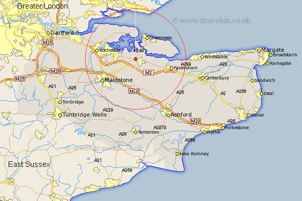
Kent Map Showing Location of Key Street
District: Swale
Easting: 587995 Northing: 164729
Latitude: 51.35 Longitude: 0.7
 = Key Street
Easting: 587995 Northing: 164729
Latitude: 51.35 Longitude: 0.7
= Key Street
This Key Street map below is supplied by Google. Use the tools in the top left corner to zoom into street level or zoom out for a road map, you may also need to zoom in to see Key Street on the map. Click and drag the map to move around. If the map fails to load try and refresh your browser or zoom in or out (+ or -).
Update - it seems Google no longer allow people to use their maps for free! This Key Street map sometimes loads and sometimes gives a error. I am working on a solution.
Closest 30 Towns or Cities to Key Street (Population over 500)
Newington 2.31km Lower Halstow 2.97km Iwade 2.97km Borden 3.7km Tunstall 3.88km Upchurch 3.94km Sittingbourne 3.94km Stockbury 5.08km Bredgar 5.56km Bapchild 5.93km Linsted 8.03km Lynsted 8.03km Teynham 8.31km Queenborough 8.74km Gillingham 10km Sheerness 10.35km Doddington 10.36km Hoo 10.8km Stoke 10.92km Minster 10.98km Detling 10.99km Grain 11.18km Hollingbourne 11.65km Boxley 12.79km Eastchurch 12.83km Ospringe 12.85km Harrietsham 13.03km Lenham 13.03km Bearsted 13.11km Chatham 13.25km