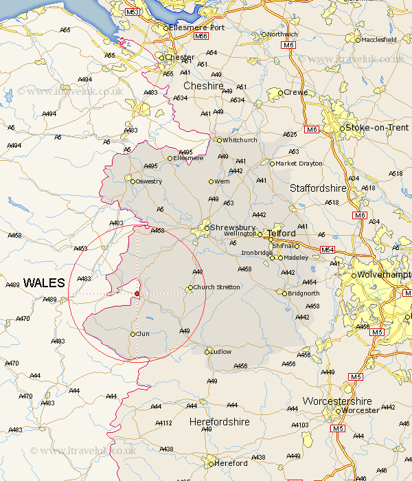
Shropshire Map Showing Location of Hyssington
District: South Shropshire
Easting: 331045 Northing: 293351
Latitude: 52.53 Longitude: -3.02
 = Hyssington
Easting: 331045 Northing: 293351
Latitude: 52.53 Longitude: -3.02
= Hyssington
This Hyssington map below is supplied by Google. Use the tools in the top left corner to zoom into street level or zoom out for a road map, you may also need to zoom in to see Hyssington on the map. Click and drag the map to move around. If the map fails to load try and refresh your browser or zoom in or out (+ or -).
Update - it seems Google no longer allow people to use their maps for free! This Hyssington map sometimes loads and sometimes gives a error. I am working on a solution.
Closest 30 Towns or Cities to Hyssington (Population over 500)
Shelve 6km Chirburg 7.16km Chirbury 7.16km North Lydbury 8.67km Lydbury North 8.67km Minsterley 12.46km Clun 13.01km Wistanstow 13.49km Church Stretton 14.77km Pontesbury 15.8km Craven Arms 16.67km Westbury 17.28km Bucknell 19.07km Rushbury 20.38km Alberbury 20.88km Great Hanwood 21.46km Hanwood 21.46km Diddlebury 21.61km Condover 22.2km Ford 23.29km Baystonhill 23.33km Berrington 25.02km Bicton 26.01km Ludlow 26.68km Great Ness 27.12km Kinnerley 27.89km Shrewsbury 27.96km Pant 28km Llanyblodwel 28.89km Bitterley 28.92km