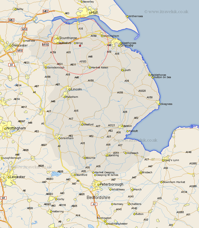
Lincolnshire Map Showing Location of Howsham
Easting: 503825 Northing: 405240
Latitude: 53.53 Longitude: -0.43
 = Howsham
Latitude: 53.53 Longitude: -0.43
= Howsham
This Howsham map below is supplied by Google. Use the tools in the top left corner to zoom into street level or zoom out for a road map, you may also need to zoom in to see Howsham on the map. Click and drag the map to move around. If the map fails to load try and refresh your browser or zoom in or out (+ or -).
Update - it seems Google no longer allow people to use their maps for free! This Howsham map sometimes loads and sometimes gives a error. I am working on a solution.
Closest 30 Towns or Cities to Howsham (Population over 500)
Brigg 3.79km Wrawby 4.32km Barnetby 4.32km Barnetby le Wold 4.32km North Kelsey 5.67km Scawby 6.61km South Kelsey 7.41km Hibaldstow 7.58km Broughton 8.56km Caistor 9.51km Nettleton 9.51km Waddingham 10.78km Ulceby 11.38km Keelby 12.67km Appleby 12.79km Kirton 13.28km Kirton in Lindsey 13.28km South Killingholme 13.72km Habrough 14.2km Messingham 14.32km Bottesford 14.44km Scunthorpe 15.35km South Ferriby 15.47km Immingham 16.12km Scotton 16.13km Goxhill 16.24km Scotter 16.4km Barrow upon Humber 17km Barrow-on-Humber 17km Barrow-upon-Humber 17km