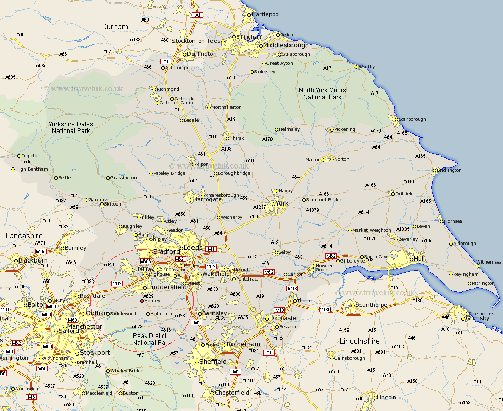
Yorkshire Map Showing Location of Honley
Population: 21461
Area Size (ha): 677
District: Kirklees
Easting: 413233 Northing: 411537
Latitude: 53.6 Longitude: -1.8
 = Honley
Area Size (ha): 677
District: Kirklees
Easting: 413233 Northing: 411537
Latitude: 53.6 Longitude: -1.8
= Honley
This Honley map below is supplied by Google. Use the tools in the top left corner to zoom into street level or zoom out for a road map, you may also need to zoom in to see Honley on the map. Click and drag the map to move around. If the map fails to load try and refresh your browser or zoom in or out (+ or -).
Update - it seems Google no longer allow people to use their maps for free! This Honley map sometimes loads and sometimes gives a error. I am working on a solution.
Closest 30 Towns or Cities to Honley (Population over 500)
Meltham 3.79km Huddersfield 5.67km Shepley 5.81km Holmfirth 5.98km Holme 5.98km Kirkburton 6.6km Shelley 7.7km Elland 9.52km Denby Dale 9.55km Dunford Bridge 9.83km Mirfield 10.69km Emley 11.15km Brighouse 11.17km Ripponden 12.36km Liversedge 12.93km Saddleworth 13.32km Halifax 13.39km Cleckheaton 14.09km Heckmondwike 14.17km Middletown 14.31km Middlestown 14.31km Cawthorne 14.77km Penistone 15.25km West Bretton 15.51km Bretton 15.51km Luddenden Foot 15.67km Batley 15.72km Dewsbury 16.42km Drewsbury 16.42km Ossett 17.08km