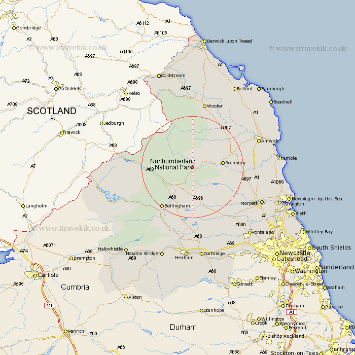
Northumberland Map Showing Location of Holystone
District: Alnwick
Easting: 395767 Northing: 600661
Latitude: 55.3 Longitude: -2.07
 = Holystone
Easting: 395767 Northing: 600661
Latitude: 55.3 Longitude: -2.07
= Holystone
This Holystone map below is supplied by Google. Use the tools in the top left corner to zoom into street level or zoom out for a road map, you may also need to zoom in to see Holystone on the map. Click and drag the map to move around. If the map fails to load try and refresh your browser or zoom in or out (+ or -).
Update - it seems Google no longer allow people to use their maps for free! This Holystone map sometimes loads and sometimes gives a error. I am working on a solution.
Closest 30 Towns or Cities to Holystone (Population over 500)
Rothbury 10.71km Otterburn 11.22km Longframlington 18.03km Bellingham 19.75km Longhorsley 20.4km Swarland 21.1km Felton 23.29km Thirston 24.34km East Thirston 24.34km Shilbottle 25.35km Alnwick 25.71km Almwick 25.71km Wooler 26.28km Hebron 27.55km Wark 27.64km Morpeth 28.47km Warkworth 29km Challerton 29.73km Chollerton 29.73km Lesbury 29.93km Lisburg 29.93km Humshaugh 29.96km East Chevington 30.66km Amble 30.81km Pegswood 31.22km Hepscott 31.25km Alnmouth 31.53km Stamfordham 32.26km Ellington 33.01km Stannington 33.75km