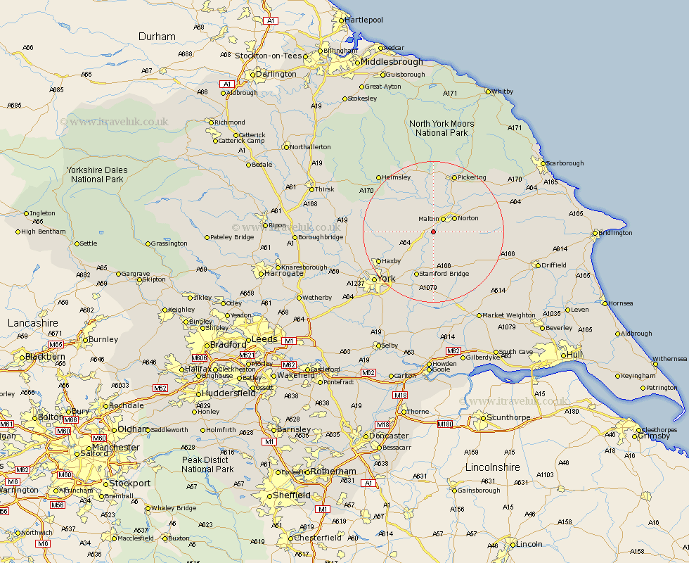
Yorkshire Map Showing Location of High Hutton
District: Ryedale
Easting: 475192 Northing: 467754
Latitude: 54.1 Longitude: -0.85
 = High Hutton
Easting: 475192 Northing: 467754
Latitude: 54.1 Longitude: -0.85
= High Hutton
This High Hutton map below is supplied by Google. Use the tools in the top left corner to zoom into street level or zoom out for a road map, you may also need to zoom in to see High Hutton on the map. Click and drag the map to move around. If the map fails to load try and refresh your browser or zoom in or out (+ or -).
Update - it seems Google no longer allow people to use their maps for free! This High Hutton map sometimes loads and sometimes gives a error. I am working on a solution.
Closest 30 Towns or Cities to High Hutton (Population over 500)
Malton 4.53km Norton 6.79km Slingsby 7.06km Terrington 7.83km Sheriff Hutton 9.96km Rillington 11.24km Strensall 13.19km Stamford Bridge 13.69km Fangfoss 14.86km Wilberfoss 16.82km Wigginton 16.9km Haxby 16.9km Earswick 17.15km Huntington 17.15km Thornton-le-Dale 17.18km Thornton Dale 17.18km Nawton 17.18km Stillington 17.39km Pickering 17.54km Huby 18.57km Barmby on the Moor 18.66km Barmby-on-the-Moor 18.66km Barmby 18.66km Yedingham 18.83km New Earswick 19.2km Kirkby Moorside 19.31km Kirby Moorside 19.31km Pocklington 19.65km Heslington 20.53km Ampleforth 20.62km