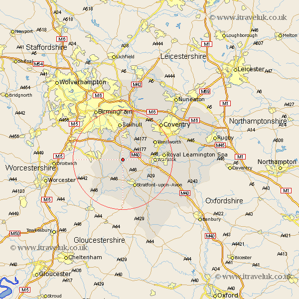
Warwickshire Map Showing Location of Henley In Arden
Population: 2745
Area Size (ha): 78
District: Stratford-on-Avon
Easting: 415915 Northing: 265086
Latitude: 52.28 Longitude: -1.77
 = Henley In Arden
Area Size (ha): 78
District: Stratford-on-Avon
Easting: 415915 Northing: 265086
Latitude: 52.28 Longitude: -1.77
= Henley In Arden
This Henley In Arden map below is supplied by Google. Use the tools in the top left corner to zoom into street level or zoom out for a road map, you may also need to zoom in to see Henley In Arden on the map. Click and drag the map to move around. If the map fails to load try and refresh your browser or zoom in or out (+ or -).
Update - it seems Google no longer allow people to use their maps for free! This Henley In Arden map sometimes loads and sometimes gives a error. I am working on a solution.
Closest 30 Towns or Cities to Henley In Arden (Population over 500)
Wootton Wawen 3.7km Ullenhall 3.87km Claverdon 4.9km Lapworth 5.68km Rowington 5.86km Aston Cantlow 6km Bearley 6km Snitterfield 6km Shrewley 7.05km Studley 8.15km Hatton 8.15km Great Alne 8.15km Alcester 10.06km Temple Balsall 10.87km Knowle 11.35km Stratford on Avon 12.01km Stratford-upon-Avon 12.01km Stratford-on-Avon 12.01km Stratford 12.01km Stratford upon Avon 12.01km Warwick 12.47km Barford 12.63km Kenilworth 14.5km Solihull 14.88km Hampton in Arden 15.51km Berkswell 15.83km Berkeswell 15.83km Leamington 15.98km Royal Leamington Spa 15.98km Leamington Spa 15.98km