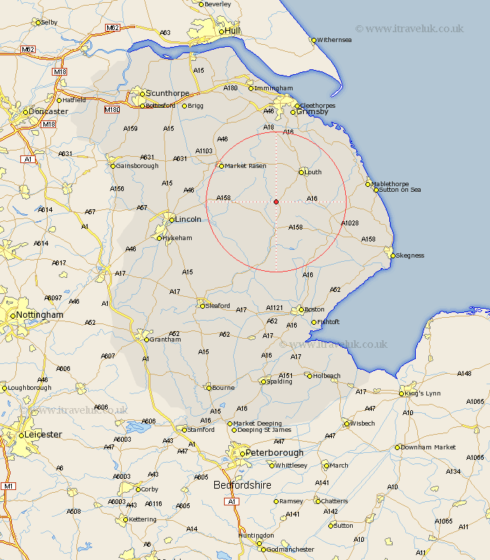
Lincolnshire Map Showing Location of Goulsby
District: East Lindsey
Easting: 525543 Northing: 377943
Latitude: 53.28 Longitude: -0.12
 = Goulsby
Easting: 525543 Northing: 377943
Latitude: 53.28 Longitude: -0.12
= Goulsby
This Goulsby map below is supplied by Google. Use the tools in the top left corner to zoom into street level or zoom out for a road map, you may also need to zoom in to see Goulsby on the map. Click and drag the map to move around. If the map fails to load try and refresh your browser or zoom in or out (+ or -).
Update - it seems Google no longer allow people to use their maps for free! This Goulsby map sometimes loads and sometimes gives a error. I am working on a solution.
Closest 30 Towns or Cities to Goulsby (Population over 500)
Banovallum 9.26km Horncastle 9.26km Louth 11.41km Mareham 11.61km Mareham on the Hill 11.61km Mareham-on-the-Hill 11.61km Wragby 12.19km Legbourne 12.39km Holton 14.52km Bardney 15.23km Grimoldby 16.2km Woodhall Spa 16.25km Manby 17.12km binbrook 17.26km Market Rasen 18.18km Spilsby 18.21km Coningsby 18.82km Fulstow 19.69km Middle Rasen 19.98km Alford 20.29km North Thoresby 20.87km Tattershall 21.12km Cherry Willingham 21.33km Reepham 21.78km Fiskerton 21.78km Scothern 22.16km Sudbrooke 22.24km Willoughby 22.33km Carrington 22.68km North Coates 22.69km