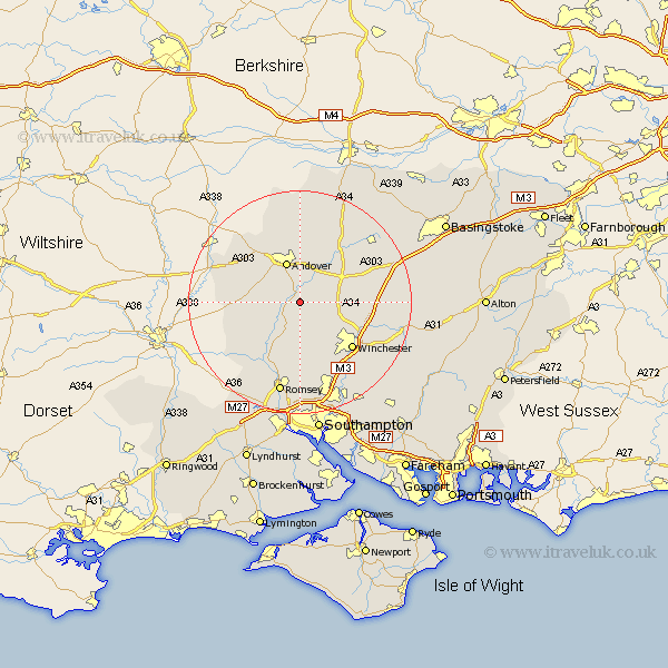
Hampshire Map Showing Location of Fullerton Junction
District: Test Valley
Easting: 438478 Northing: 137316
Latitude: 51.13 Longitude: -1.45
 = Fullerton Junction
Easting: 438478 Northing: 137316
Latitude: 51.13 Longitude: -1.45
= Fullerton Junction
This Fullerton Junction map below is supplied by Google. Use the tools in the top left corner to zoom into street level or zoom out for a road map, you may also need to zoom in to see Fullerton Junction on the map. Click and drag the map to move around. If the map fails to load try and refresh your browser or zoom in or out (+ or -).
Update - it seems Google no longer allow people to use their maps for free! This Fullerton Junction map sometimes loads and sometimes gives a error. I am working on a solution.
Closest 30 Towns or Cities to Fullerton Junction (Population over 500)
Chilbolton 2.19km Stockbridge 4.37km Clatford 4.38km Goodworth Clatford 4.38km Lower Clatford 4.38km Upper Clatford 6.03km Longparish 6.56km Barton Stacey 6.9km Abbotts Ann 7.25km Abbots Ann 7.25km Kings Somborne 7.76km Andover 7.77km Nether Wallop 8.35km Sparsholt 8.75km Broughton 8.92km Wonston 9.49km Over Wallop 10.47km Michlemersh 11.66km Michelmersh 11.66km Kings Worthy 11.86km Thruxton 11.89km Whitchurch 12.34km Winchester 12.62km Micheldever 12.79km Hursley 13.43km Hurstbourne Tarrant 14.83km Compton 15.31km Tangley 15.54km Twyford 15.96km Otterbourne 16.39km