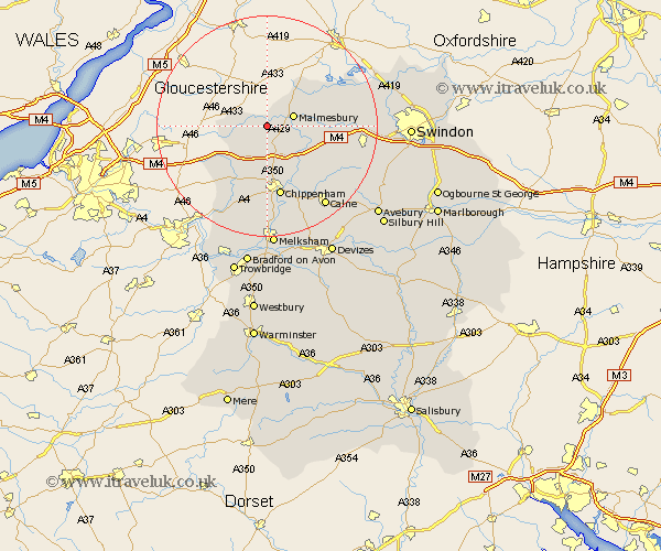
Wiltshire Map Showing Location of Foxley
District: North Wiltshire
Easting: 389604 Northing: 185377
Latitude: 51.57 Longitude: -2.15
 = Foxley
Easting: 389604 Northing: 185377
Latitude: 51.57 Longitude: -2.15
= Foxley
This Foxley map below is supplied by Google. Use the tools in the top left corner to zoom into street level or zoom out for a road map, you may also need to zoom in to see Foxley on the map. Click and drag the map to move around. If the map fails to load try and refresh your browser or zoom in or out (+ or -).
Update - it seems Google no longer allow people to use their maps for free! This Foxley map sometimes loads and sometimes gives a error. I am working on a solution.
Closest 30 Towns or Cities to Foxley (Population over 500)
Hullavington 3.71km Sherston 4.61km Malmsbury 4.96km Malmesbury 4.96km Stanton St. Quintin 5.68km Stanton St Quintin 5.68km Stanton 5.68km Stanton Saint Quintin 5.68km Lea 5.76km Great Somerford 6.86km Somerford 6.86km Luckington 7.16km Sutton Benger 8.73km Crudwell 9.38km Yatton Keynell 9.9km Christian Malford 10.14km Nettleton 10.96km Brinkworth 11.67km Chippenham 13.18km Lyneham 13.85km Corsham 14.88km Minety 14.89km Bremhill 15.28km Ashton Keynes 16.7km Hillmarton 16.87km Hilmarton 16.87km Colerne 16.89km Wooton Bassett 17.68km Wootton Bassett 17.68km Box 18.06km