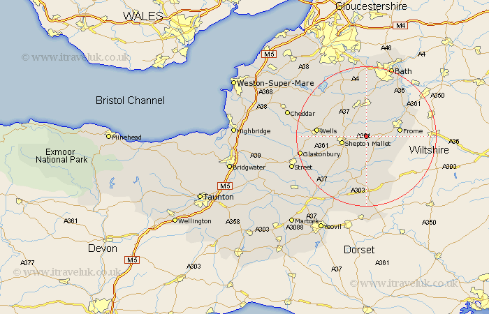
Somerset Map Showing Location of East Cranmore
District: Mendip
Easting: 368562 Northing: 144685
Latitude: 51.2 Longitude: -2.45
 = East Cranmore
Easting: 368562 Northing: 144685
Latitude: 51.2 Longitude: -2.45
= East Cranmore
This East Cranmore map below is supplied by Google. Use the tools in the top left corner to zoom into street level or zoom out for a road map, you may also need to zoom in to see East Cranmore on the map. Click and drag the map to move around. If the map fails to load try and refresh your browser or zoom in or out (+ or -).
Update - it seems Google no longer allow people to use their maps for free! This East Cranmore map sometimes loads and sometimes gives a error. I am working on a solution.
Closest 30 Towns or Cities to East Cranmore (Population over 500)
Leigh 1.86km Leigh-on-Mendip 1.86km Leigh on Mendip 1.86km Leigh upon Mendip 1.86km Coleford 3.36km Holcombe 4.37km Nunney 4.65km Mells 5.08km Evercreech 6.56km Shepun 7.21km Shepton Mallet 7.21km Kilmersdon 7.51km Kilmersden 7.51km Stratton-on-the-Fosse 8.19km Stratton 8.19km Chilcompton 8.19km Stratton on the Fosse 8.19km Frome 9.47km Pilton 10km Farrington Gurney 10.93km Ditcheat 10.93km Redlynch 11.18km Bruton 11.18km Paulton 11.65km Chewton Mendip 11.88km Camerton 12.98km Timsbury 13.18km Wincanton 13.44km Norton St Philip 13.77km Norton Saint Philip 13.77km