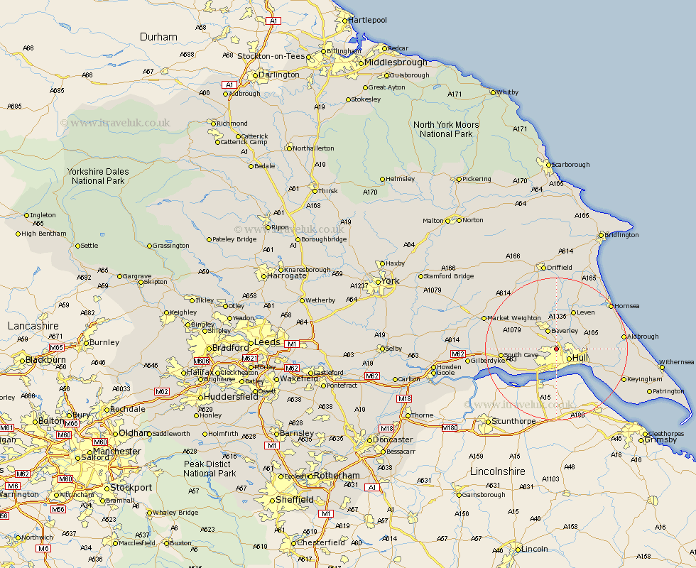
Yorkshire Map Showing Location of Dunswell
Easting: 506506 Northing: 433122
Latitude: 53.78 Longitude: -0.38
 = Dunswell
Latitude: 53.78 Longitude: -0.38
= Dunswell
This Dunswell map below is supplied by Google. Use the tools in the top left corner to zoom into street level or zoom out for a road map, you may also need to zoom in to see Dunswell on the map. Click and drag the map to move around. If the map fails to load try and refresh your browser or zoom in or out (+ or -).
Update - it seems Google no longer allow people to use their maps for free! This Dunswell map sometimes loads and sometimes gives a error. I am working on a solution.
Closest 30 Towns or Cities to Dunswell (Population over 500)
Wawne 2.87km Woodmansey 3.71km Sutton on Hull 4.38km Sutton 4.38km Sutton-on-Hull 4.38km Hull 4.42km Willerby 4.75km Skidby 5.47km Kirk Ella 5.74km Beverley 5.97km Anlaby 6.46km Hessle 8.1km Kingston upon Hull 8.1km Swanland 8.61km Tickton 9.27km Bishop Burton 9.47km Skirlaugh Station 9.51km Leconfield 10.25km Leckonfield 10.25km Ferriby 10.66km North Ferriby 10.66km Barton upon Humber 11.59km Barton 11.59km Leven 11.95km Cherry Burton 12.03km Preston 12.19km Paull 12.33km Sproatley 13.14km Welton 13.27km Hedon 14.27km