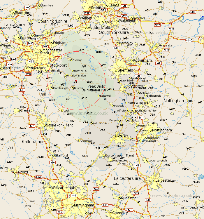
Derbyshire Map Showing Location of Dove Holes
District: High Peak
Easting: 407774 Northing: 378153
Latitude: 53.3 Longitude: -1.88
 = Dove Holes
Easting: 407774 Northing: 378153
Latitude: 53.3 Longitude: -1.88
= Dove Holes
This Dove Holes map below is supplied by Google. Use the tools in the top left corner to zoom into street level or zoom out for a road map, you may also need to zoom in to see Dove Holes on the map. Click and drag the map to move around. If the map fails to load try and refresh your browser or zoom in or out (+ or -).
Update - it seems Google no longer allow people to use their maps for free! This Dove Holes map sometimes loads and sometimes gives a error. I am working on a solution.
Closest 30 Towns or Cities to Dove Holes (Population over 500)
Chapel en le Frith 2.16km Buxton 5.99km Whaley Bridge 7.61km New Mills 7.74km Castleton 8.59km Tideswell 8.59km Bradwell 9.05km Hayfield 10.27km Hope 10.45km Great Longstone 14.27km Longstone 14.27km Bamford 14.4km Eyam 14.52km Glossop 15.51km Hathersage 15.61km Stoney Middleton 15.95km Stony Middleton 15.95km Grindleford 16.72km Grindleford Bridge 16.72km Charlesworth 16.72km Bakewell 18.21km Middleton 18.51km Youlgreave 19.2km Baslow 19.22km Tintwhistle 19.34km Tintwistle 19.34km Darley Dale 23.99km Winster 24.19km Holmesfield 24.44km Brampton 26.55km