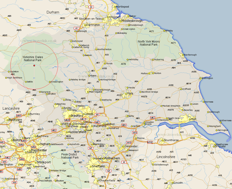
Yorkshire Map Showing Location of Deepdale
District: Richmondshire
Easting: 389128 Northing: 478281
Latitude: 54.2 Longitude: -2.17
 = Deepdale
Easting: 389128 Northing: 478281
Latitude: 54.2 Longitude: -2.17
= Deepdale
This Deepdale map below is supplied by Google. Use the tools in the top left corner to zoom into street level or zoom out for a road map, you may also need to zoom in to see Deepdale on the map. Click and drag the map to move around. If the map fails to load try and refresh your browser or zoom in or out (+ or -).
Update - it seems Google no longer allow people to use their maps for free! This Deepdale map sometimes loads and sometimes gives a error. I am working on a solution.
Closest 30 Towns or Cities to Deepdale (Population over 500)
Hawes 11.33km Bradley 13.14km Settle 16.19km Giggleswick 17.91km Clapham 17.97km Grassington 19.04km Threshfield 19.33km Ingleton 20.3km Long Preston 22.89km Hellifield 24.32km Bentham 24.39km High Bentham 24.39km Gargrave 24.49km Middleham 24.56km Burton in Lonsdale 24.99km Leyburn 25.31km Skipton 27.73km Embsay 28.57km Bewerley 29.11km Carleton 30.62km Carlton 30.62km Earby 31.67km Cononley 32.99km Masham 33.65km Grewelthorpe 33.66km Dacre 33.74km Kirkby Malzeard 33.82km Addingham 34.95km Glusburn 35.09km Darley 35.62km