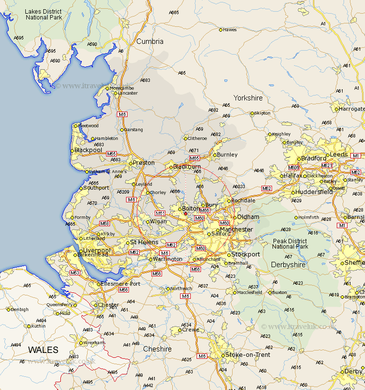
Lancashire Map Showing Location of Darcy Lever
District: Bolton
Easting: 373511 Northing: 407888
Latitude: 53.57 Longitude: -2.4
 = Darcy Lever
Easting: 373511 Northing: 407888
Latitude: 53.57 Longitude: -2.4
= Darcy Lever
This Darcy Lever map below is supplied by Google. Use the tools in the top left corner to zoom into street level or zoom out for a road map, you may also need to zoom in to see Darcy Lever on the map. Click and drag the map to move around. If the map fails to load try and refresh your browser or zoom in or out (+ or -).
Update - it seems Google no longer allow people to use their maps for free! This Darcy Lever map sometimes loads and sometimes gives a error. I am working on a solution.
Closest 30 Towns or Cities to Darcy Lever (Population over 500)
Farnworth 1.86km Bolton 2.87km Little Lever 2.88km Bradshaw 3.7km Bromley Cross 3.7km Kearsley 3.87km Radcliffe 4.78km Walkden 5.56km Tottington 5.75km Whitefield 6.86km Pendlebury 7.09km Tyldesley 7.09km Turton 7.41km Bury 7.57km Westhoughton 7.93km Swinton 8.12km Prestwich 8.56km Atherton 8.64km Ramsbottom 9.22km Eccles 10.27km Horwich 10.57km Leigh 12.06km Blackrod 12.24km Heywood 12.24km Haigh 12.66km Hindley 12.67km Salford 12.79km Edenfield 12.93km Abram 13.33km Middleton 13.34km